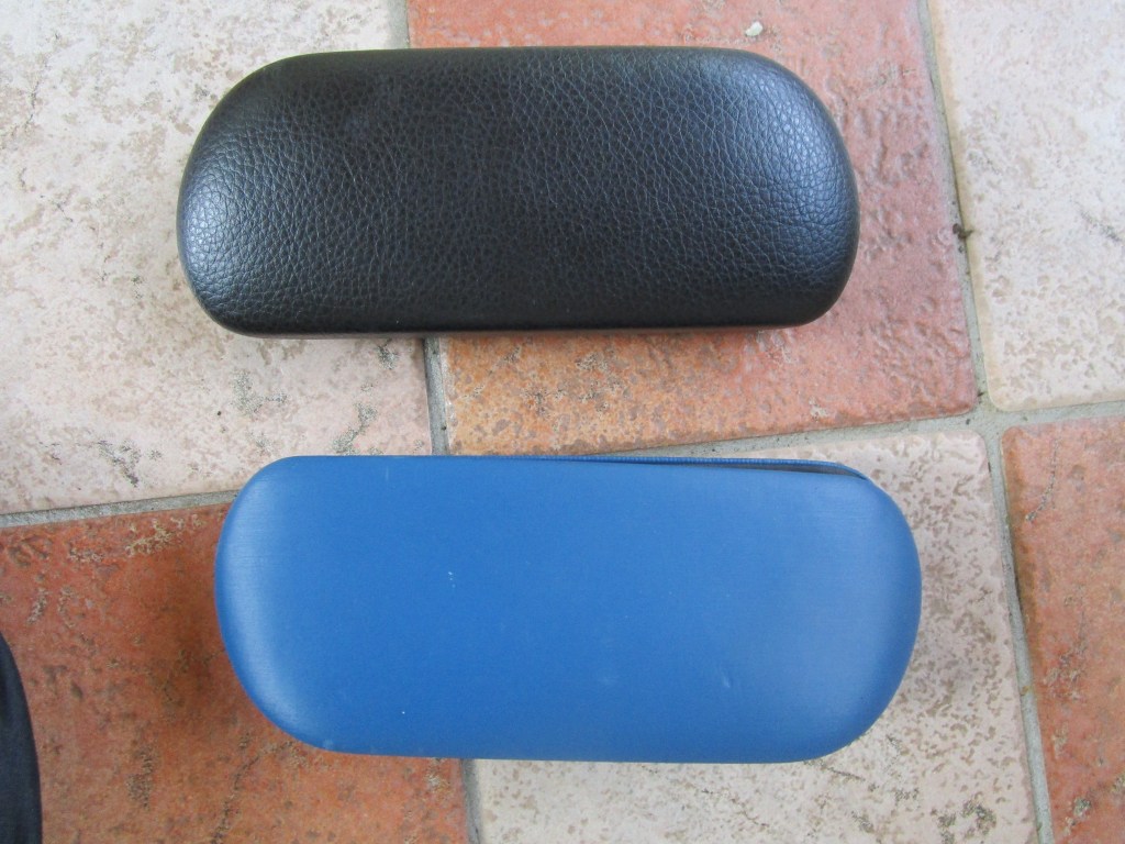
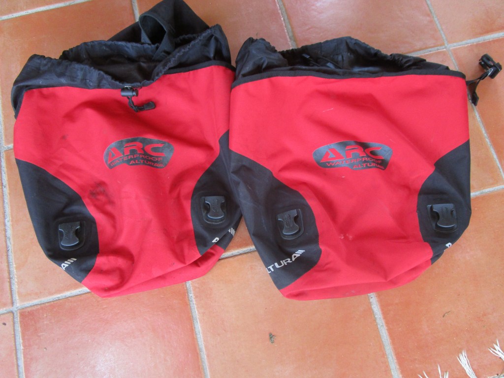
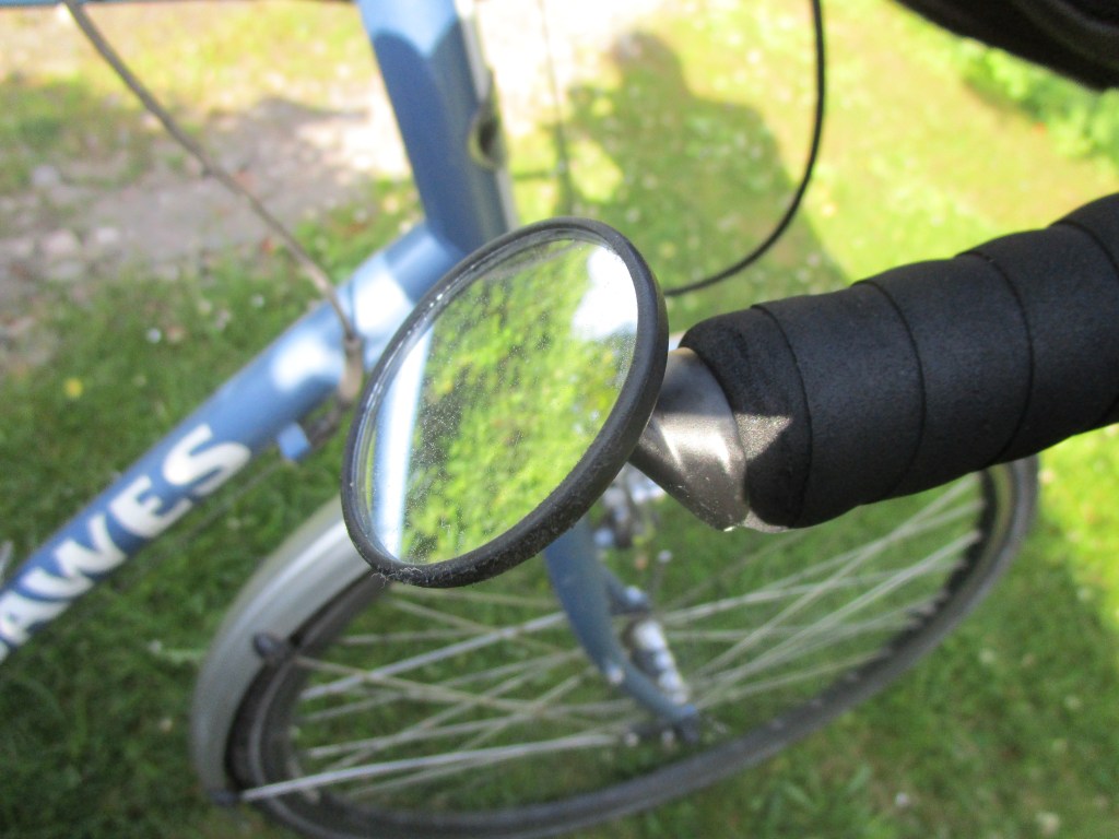
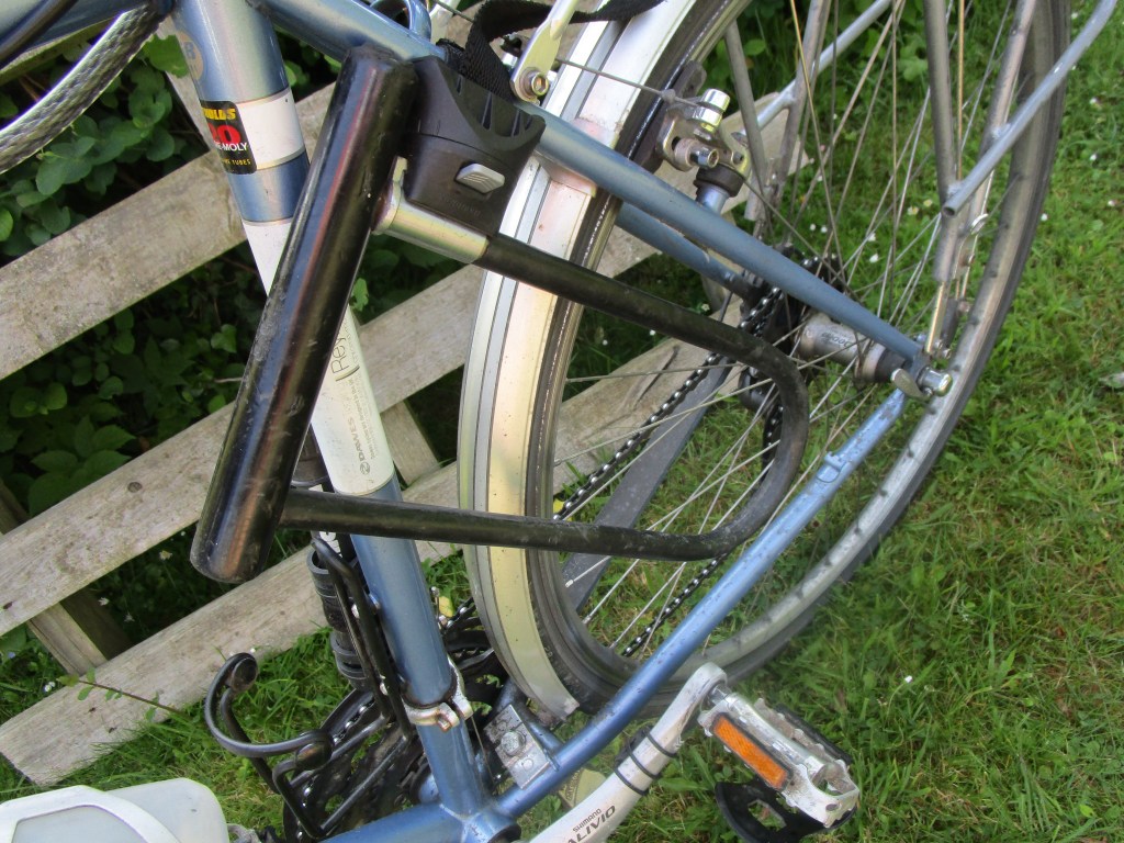
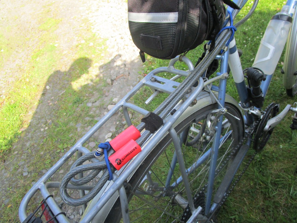
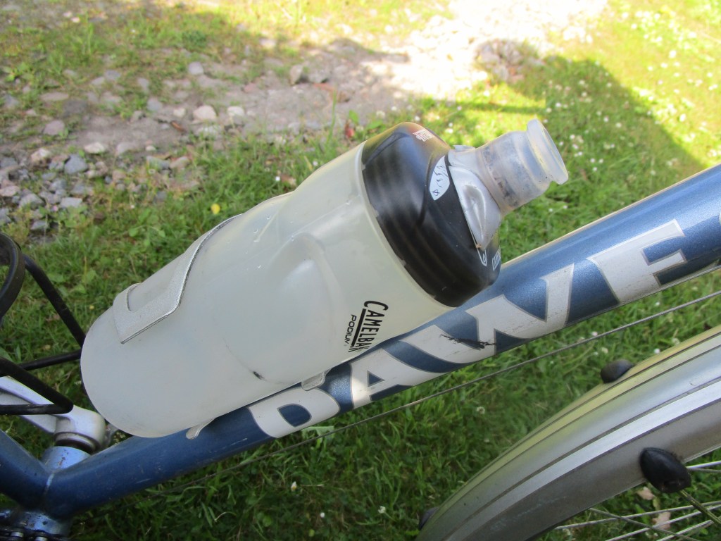
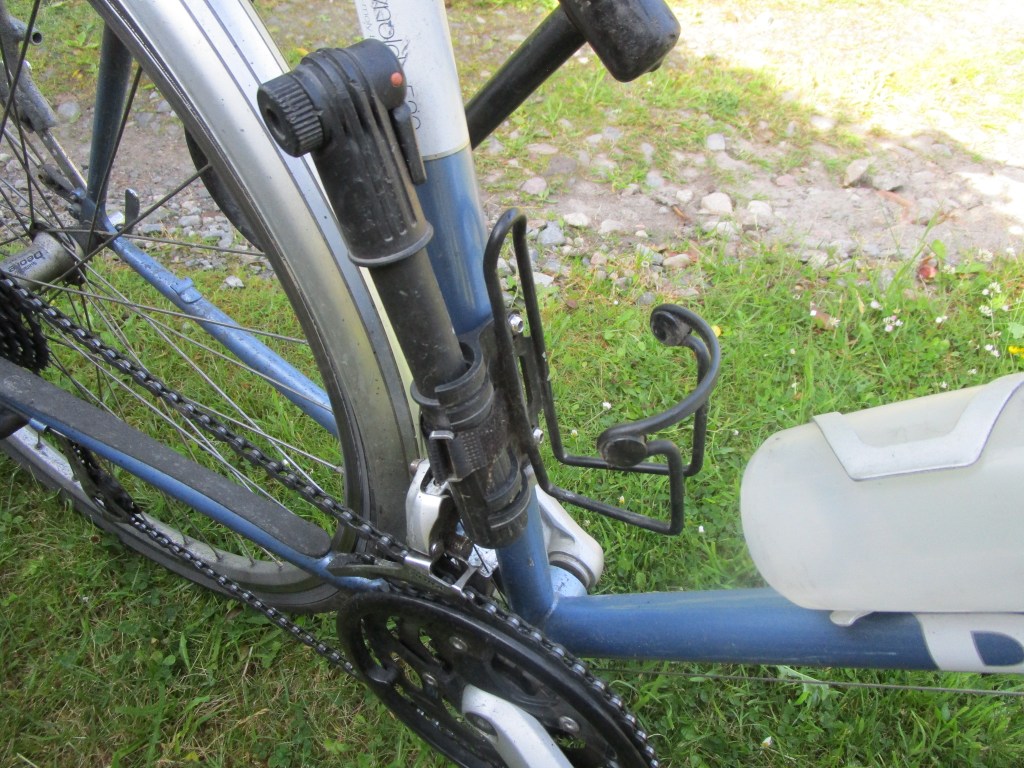
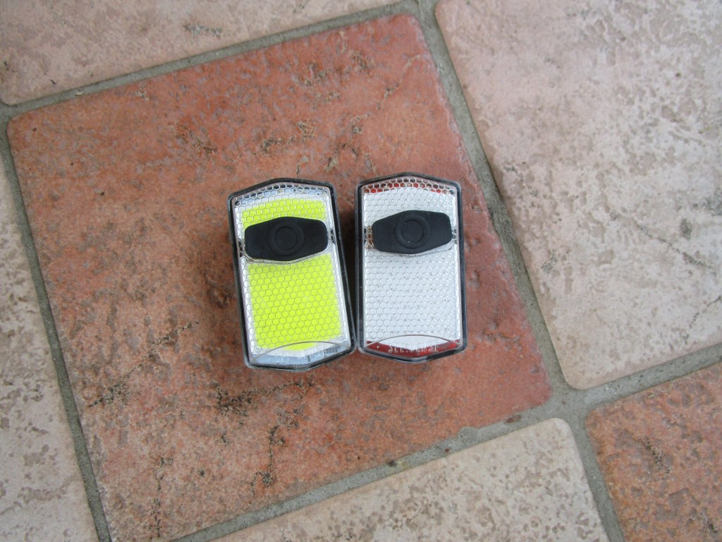
A few more items that I took with me, with comment

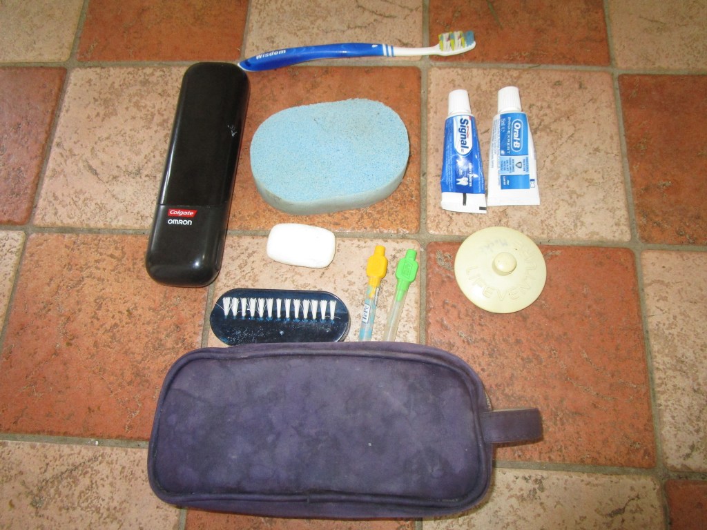
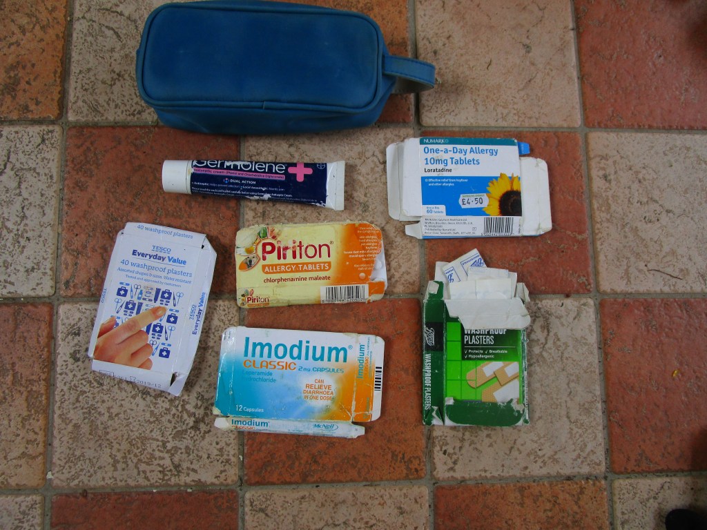
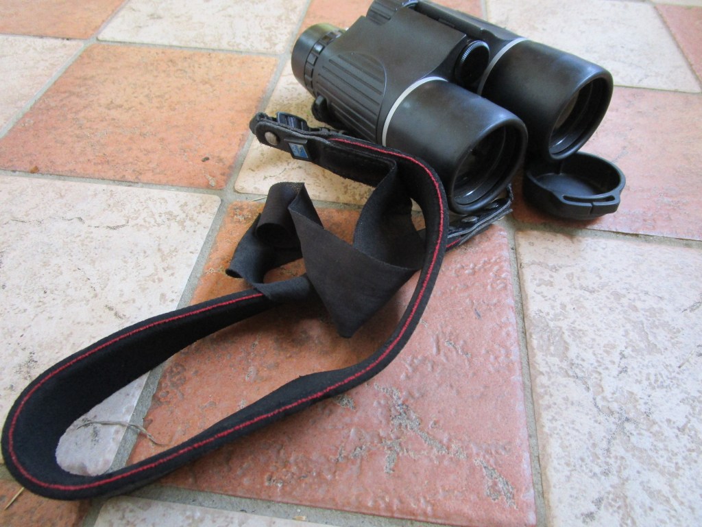
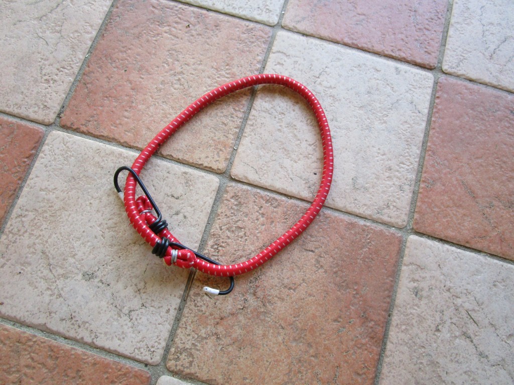

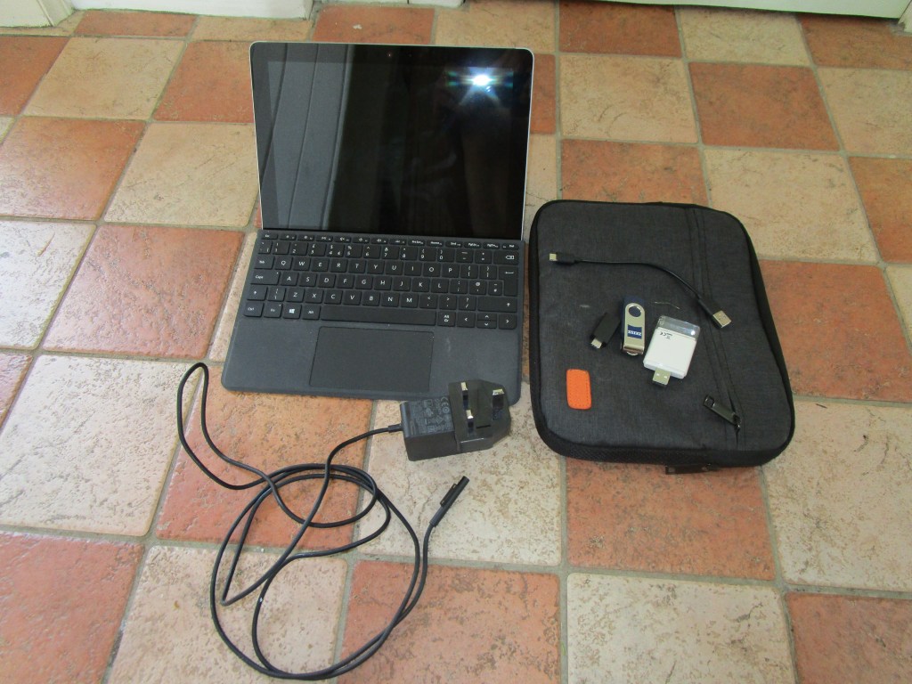
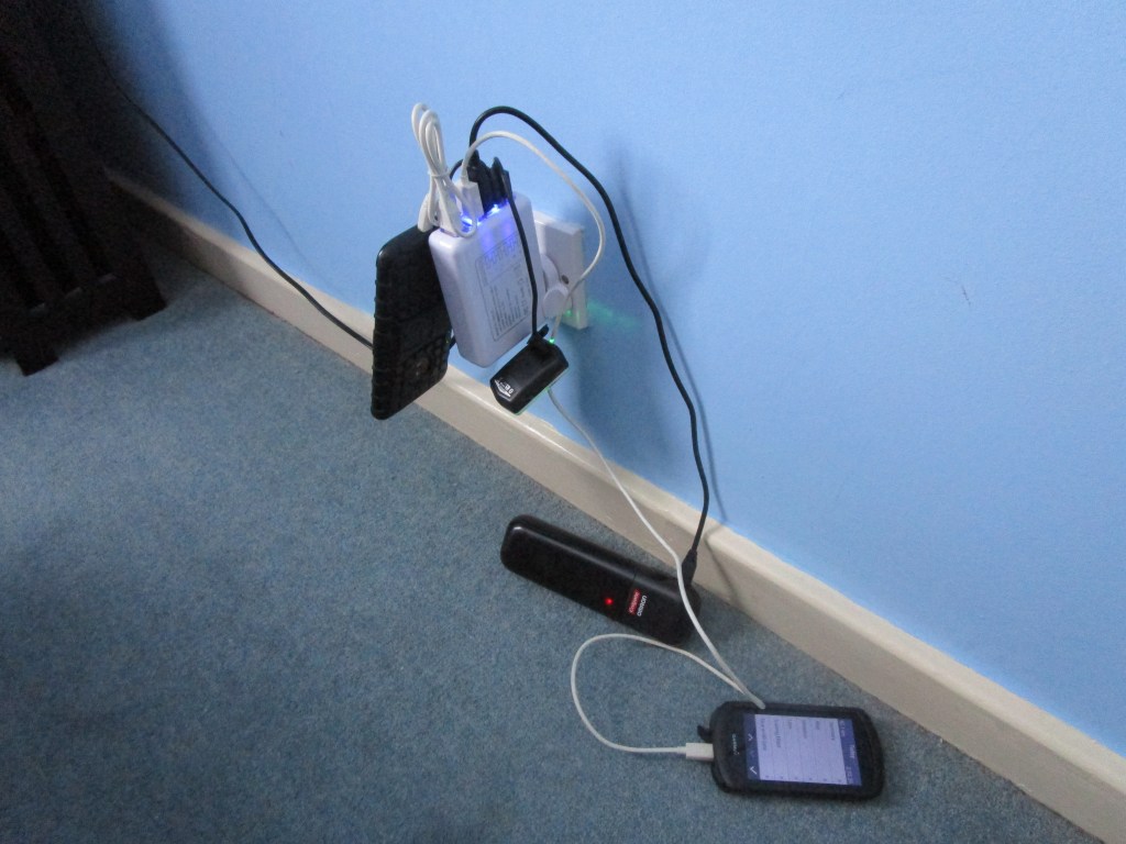
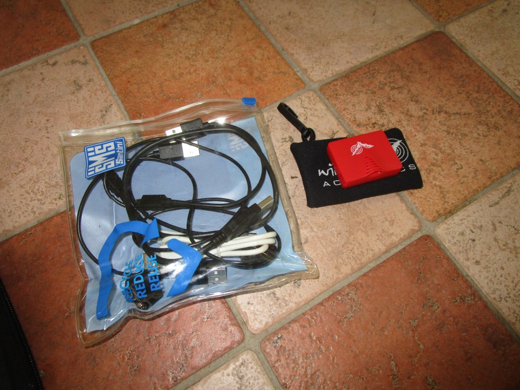

A few more items that I took with me, with comment
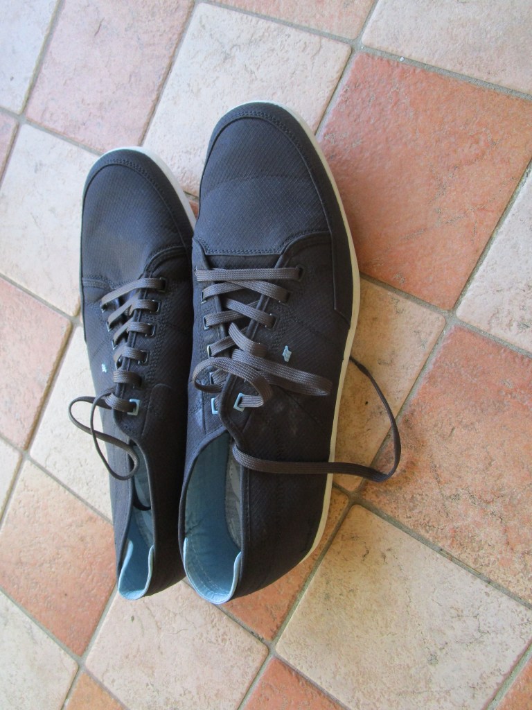
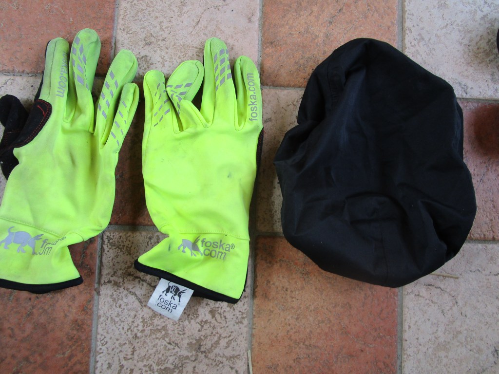
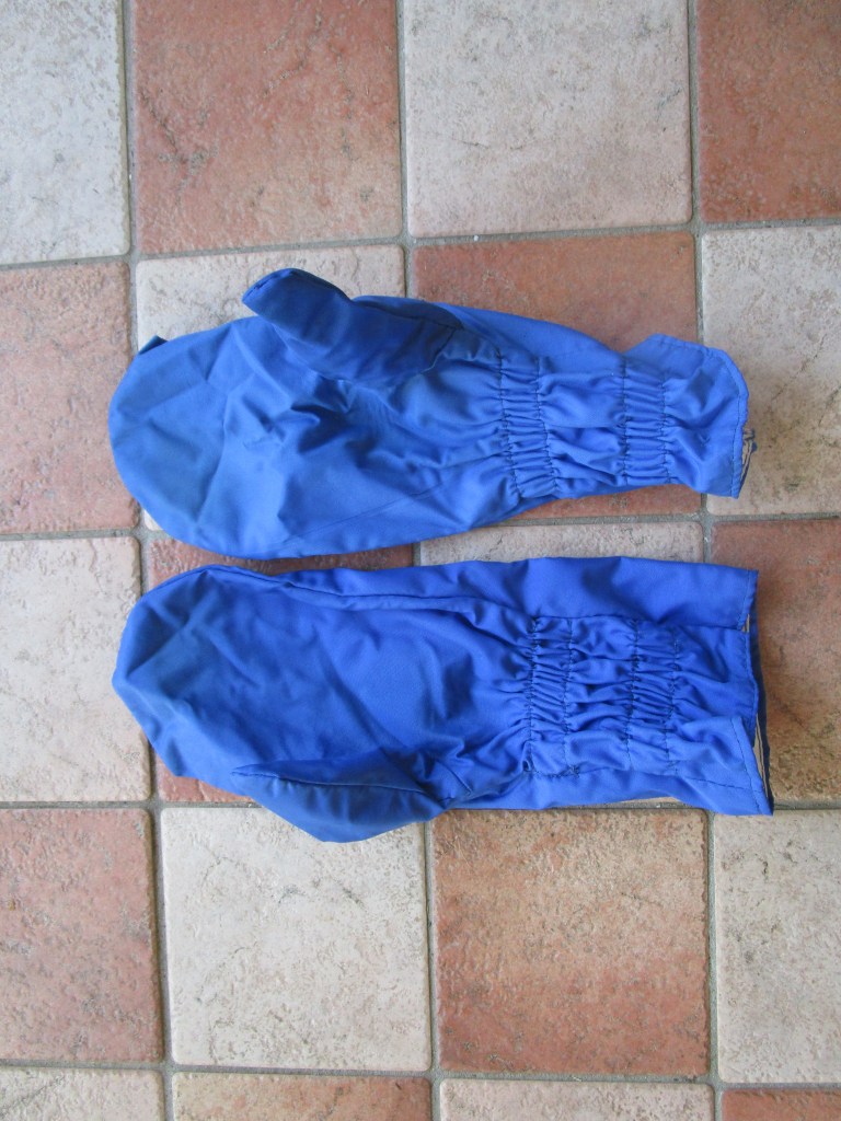
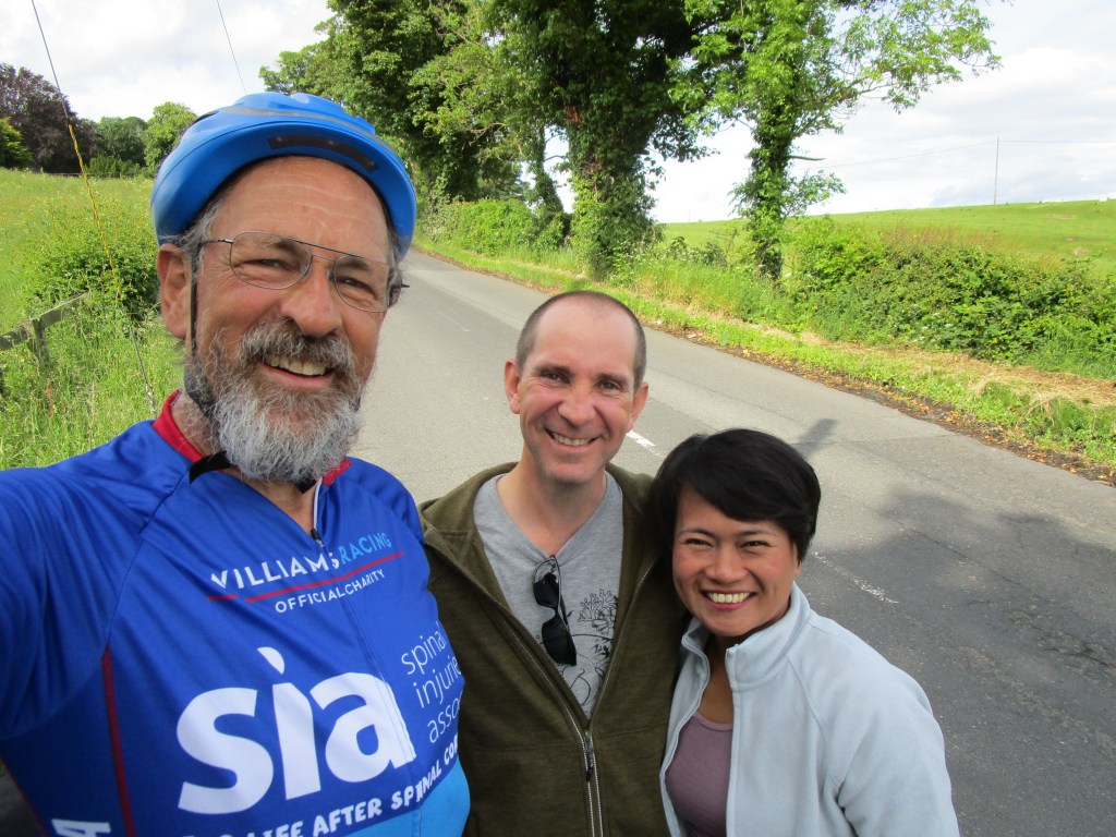
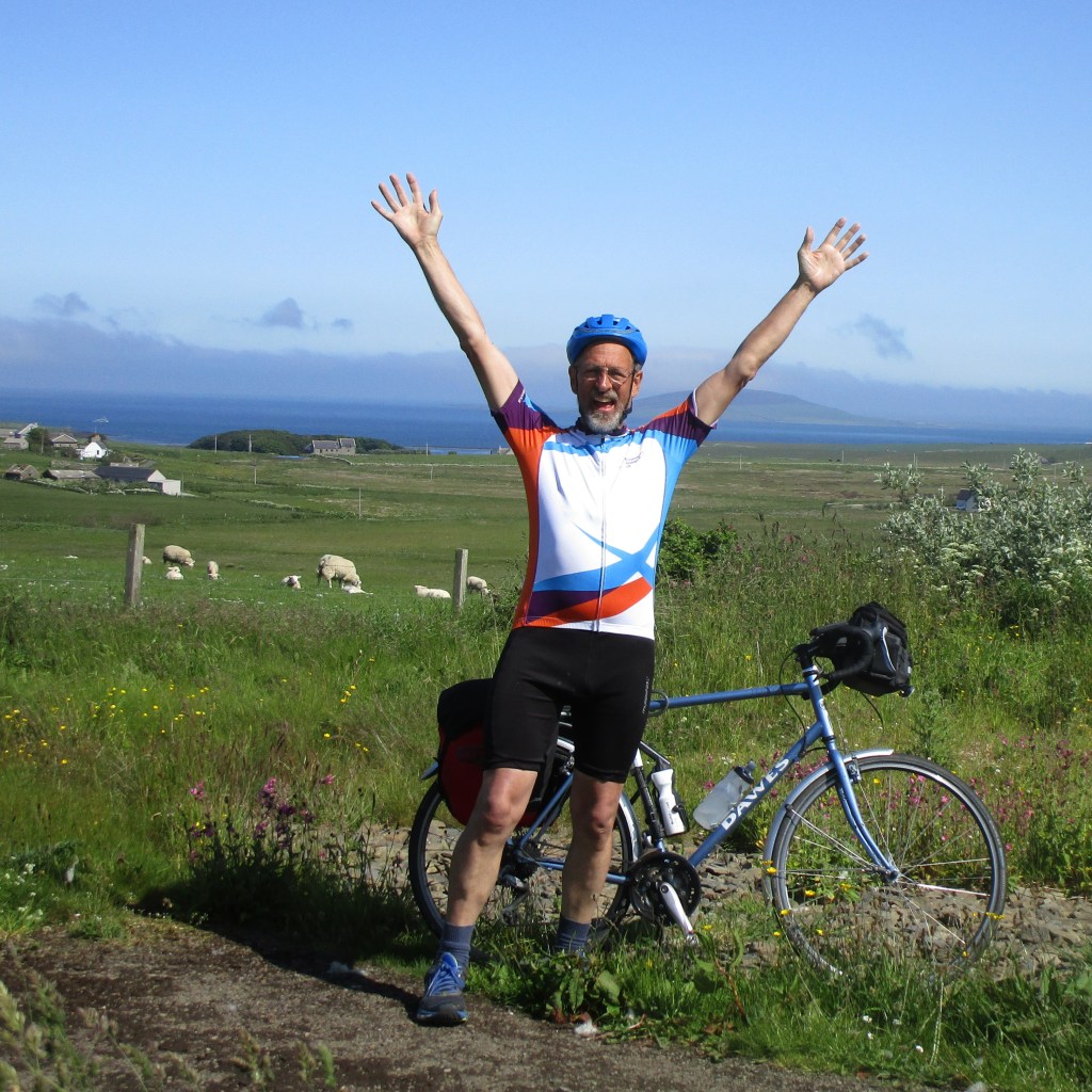
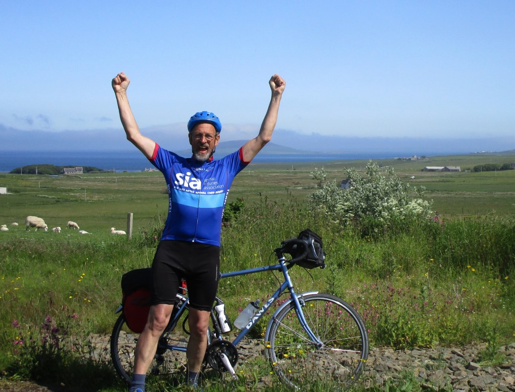
Continuing the theme of what went on the ride with me, here are a few pictures and comments on clothing worn.

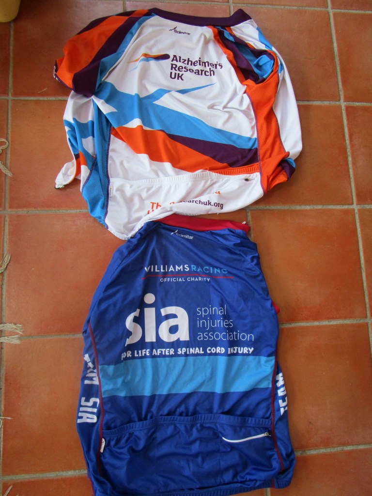
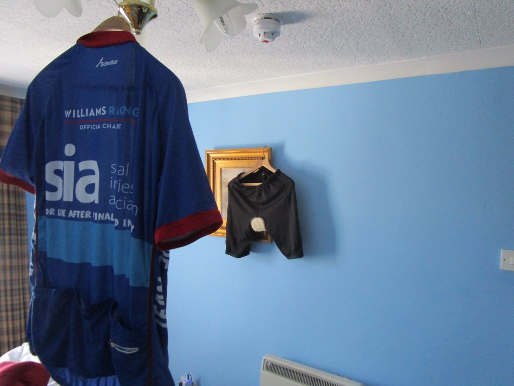
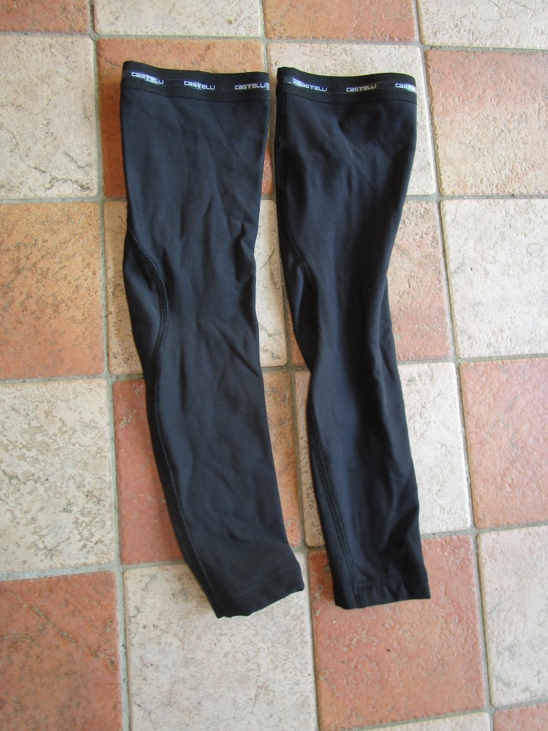
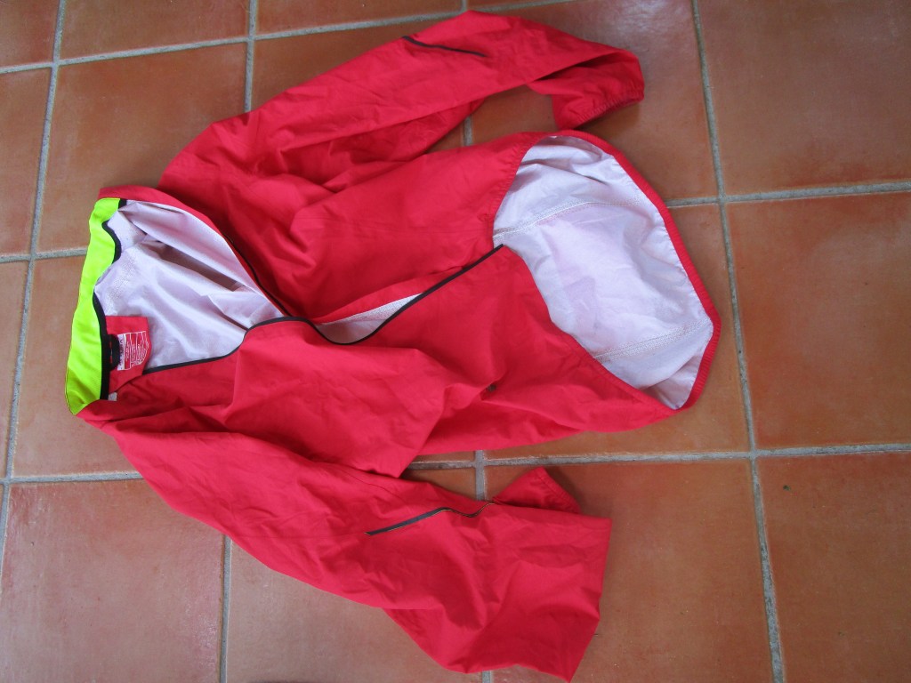
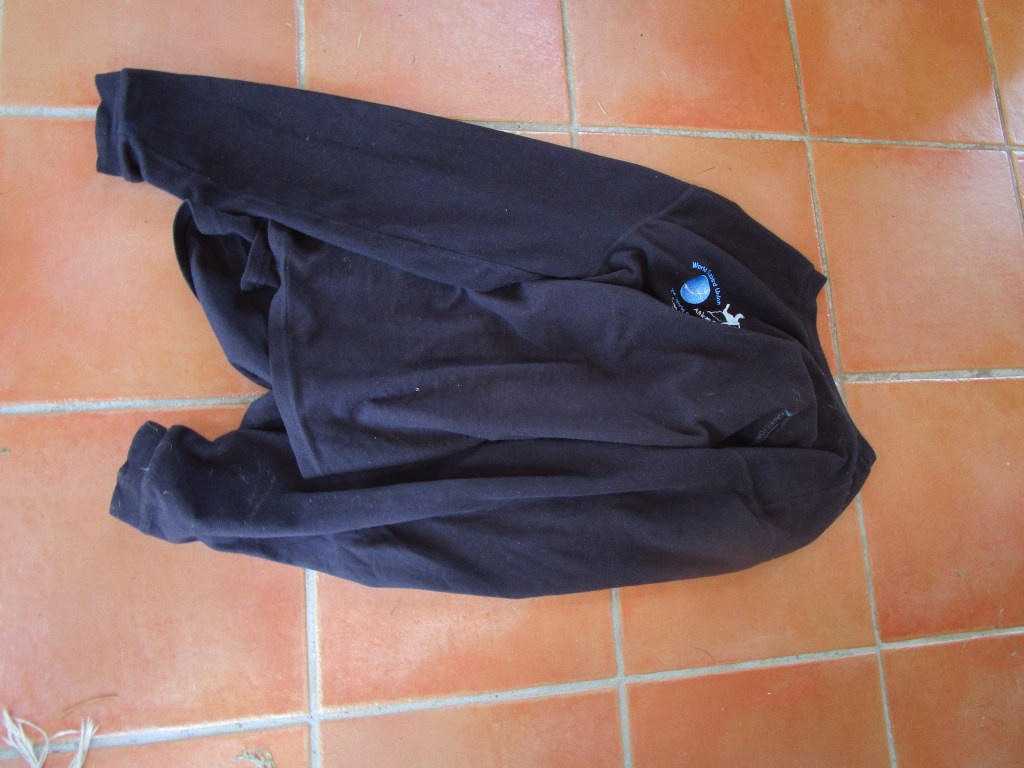
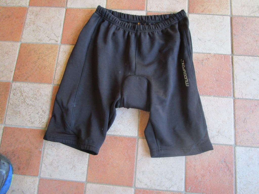
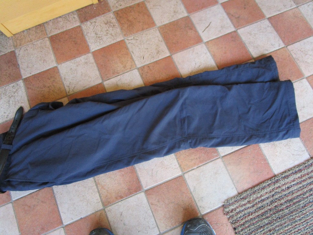

Not illustrated are two pairs of underpants, and two T-shirts for use when not cycling, and three pairs of woollen socks – rotated each day and washed out along with the shorts and jerseys.
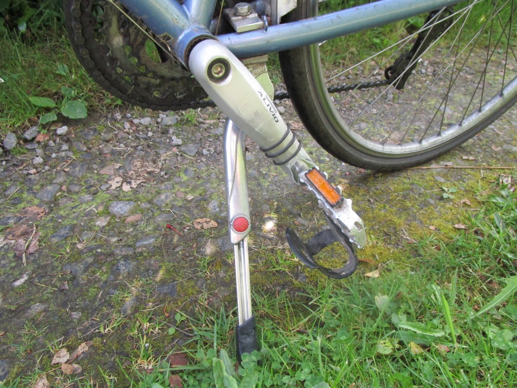
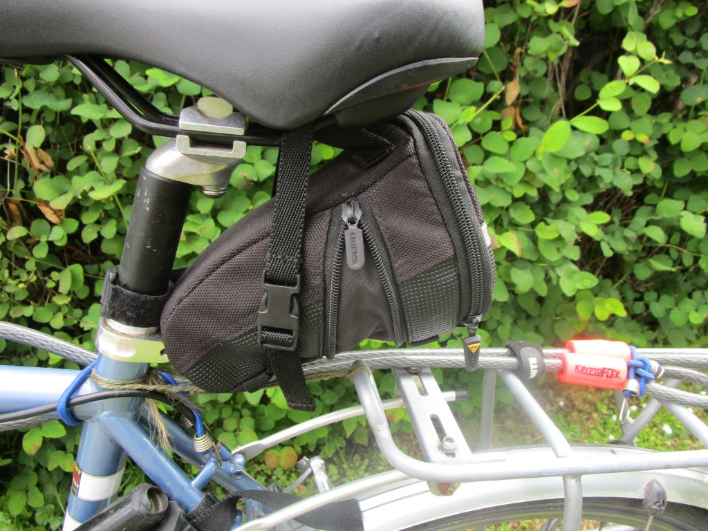
I thought that it would be useful and maybe interesting to post a few comments on the equipment that I used on this ride.
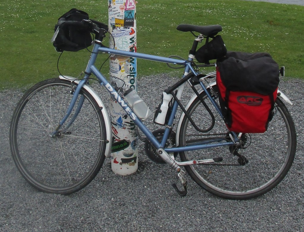

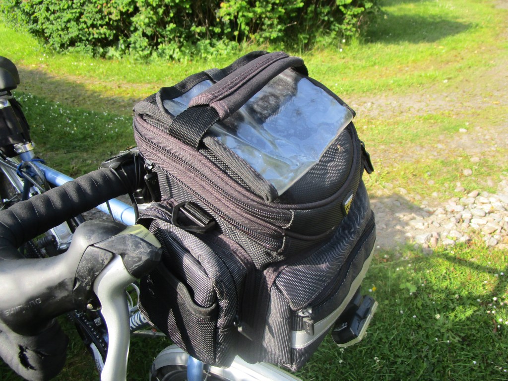
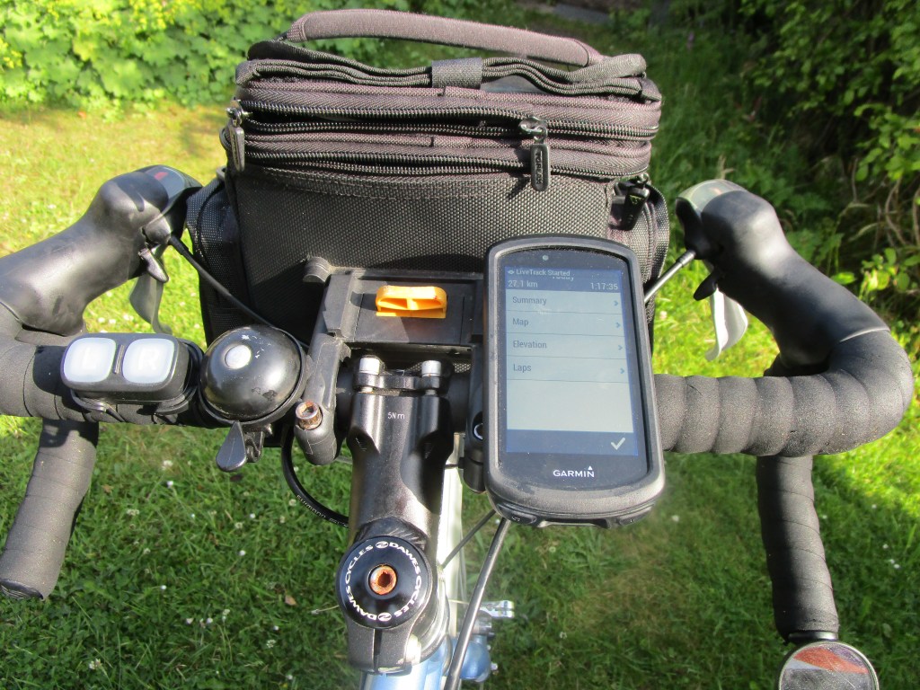
For navigation, I used a combination of a Garmin 1030 unit and routes devised on the cycle.travel website. The latter is strongly recommended (I compared four different navigation methods: Garmin, Strava, Google and cycle.travel; the last won easily. There may be other packages out there that I have not tried). The Garmin unit was annoying in a number of ways – it is very “touchy” – in other words the lightest touches could make it suddenly change. When it was working, it was fine in telling you where to go next, and warning you of forthcoming changes in the track. I have not compared with the many other navigation units that are available.
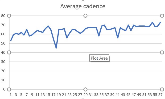
As usual, I have collected a few statistics on this journey. Here are a few of them.
Distance travelled: 3016 km (1874 miles), in 157 hours, 38 minutes and 39 seconds of moving time. Total ascent: 29,928 metres.
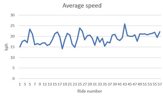
The highest maximum speed achieved was 58.78 kph (36.5 mph) on the way down from the highest point on the trip (Lecht towards Tomintoul). Highest speed depends as much on a reliably good road surface as anything else.

So far, £8000.93 has been donated by 160 individuals/couples/families and an unknown number of cake eaters in Inverdee House – thank you all. There is still time to add to this total: https://uk.virginmoneygiving.com/MarkTasker5 !
Accommodation and food cost me just over £2,500. I spent further on equipment but much of this I can continue to use after the ride.
My weight changed from 95 kg to 89.5 kg.
Total bird species seen or heard: 144.
Total mammals seen: 24 (+2 dead).
Total tubs in fields seen: 165 of which 144 were new.
I cannot finish this blog without thanking everyone that has helped make this journey happen.
All those who I visited, provided food, bed and generally supported me, especially when I was tired, sweaty, muddy and wet! Judy and Harry, Sophy, Anne, Michael (John) and Jan, Chris, Rick and Bridge, Julie, John, Bill and Bonk, Guy and Jennie, Mum, Dave and Pauline, John and Fi, Pauline and Bob, Colin and Maria, Simon and Jo, Kel and Al, Sonia, Finlay and Linda, Liz and Garry.
I tried to visit everywhere that I had lived and wrote in advance to introduce myself. Several of those who I wrote to invited me to visit their houses: Helen and Alan, Kate Goodwin, Lorraine and Stuart, Heather and Simon.
Aldridge Cycles, Camborne; Cycle Scene, Haxby; Holburn Cycles, Aberdeen all provided exemplary service.
At the time of writing, 160 individuals (or couples/families), plus an unknown number of those working in Inverdee House, Aberdeen have donated their funds to the charities that this ride was for. Kerstin and Claire at JNCC, Aberdeen helped raise funds also.
Many individuals were friendly and very helpful, often beyond the strict requirements of their jobs. These include hotel and restaurant staff, the man on ferry in Plymouth, and the man who lent me binoculars for stone curlews at Minsmere.
On a more general point, councils that maintain their roads properly deserve acknowledgement. I noticed that higher altitude roads generally were better maintained than lower roads! Good and considerate drivers are always appreciated. Friendly cyclists always helped maintain morale.
My partner Anne has put up with a great deal while I prepared for and carried out this bike ride – it just could not have happened without her.
Several readers and others have asked me what the highlights of my trip were. This is a very difficult question, there were many (and as always in these types of things, the most recent things tend to dominate). There are also overlaps between highlights. Anyway, here goes with a top ten …and this might change!
10. Co-incidences
Meeting Rob and his family, Becci and Keith in completely unplanned circumstances was brilliant. It is a small world, but this was amazing!
9. Cycle shops and Cycle.travel
I do not have a picture of a cycle shop, but I interacted with three on this trip (and my local shop prepared the bike before I left). All were exceedingly friendly and professional – it is amazing how fast they can get jobs done that would take me hours of fiddling. So a big shout for: Aldridge Cycles in Camborne, Cycle Scene in Haxby, York and Holburn Cycles in Aberdeen.
My track was also devised using the excellent on-line service Cycle.travel, run by Richard Fairhurst from the Cotswolds. The program found some great routes, and despite occasional glitches was superb. Nearly all of the maps that I included in the blog were screen saves from Cycle.travel. If anyone wishes to find interesting cycle routes, whatever you are doing, I strongly recommend it.
8. Newcastle and Dundee cycle paths, with additional mention for all old converted railway lines
I do not know much around the politics and funding of cycle infrastructure (perhaps I ought to!) but there is plainly considerable variance in what happens. I suspect that this variance may be driven by one or two local people who understand what is needed. I think Newcastle and Dundee had the best infrastructure of the cities that I passed through and plainly new developments had taken account of needs well. AS I mentioned earlier in the trip, it is a tragedy that the decommissioned railway line routes were not kept intact – just imagine how good our cycle (and walking) infrastructure would be then. I should mention that cycle.travel makes the most of all dedicated cycle lanes in suggesting routes.
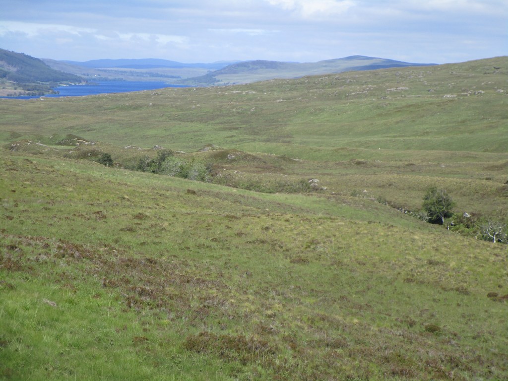
7. Strathnaver
I saw a great many scenic and wonderful places on this trip, but the weather and scenery combined to perfection in Strathnaver this time. There were also no midges! I am certain that a few other places could beat Strathnaver had the weather been good there, and that in Strathnaver bad – e.g. Pennines, Salisbury Plain.

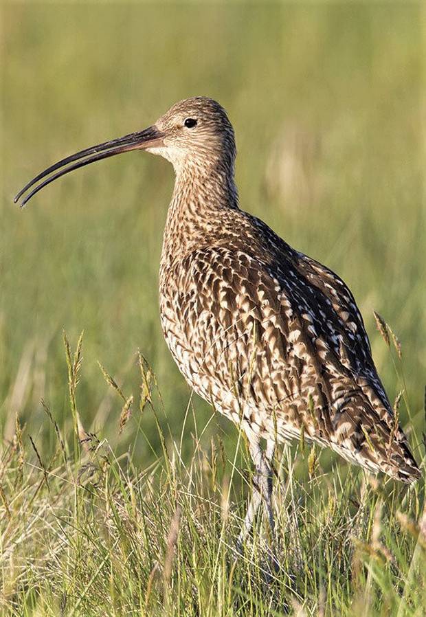
6. Curlews (and snipe)
Most of the bird-watching while cycling is in fact bird-listening (this in reality applies to much bird-watching too – initial cues as to the presence of birds is as often aural as visual. If I could hear curlews though, I knew that I was somewhere nice and remote, or at least the agriculture was allowing these wonderful birds to survive. Equally, if I could hear snipe in the evening or by night, I knew that I was staying somewhere fine too. I think that I need to live near curlews though.
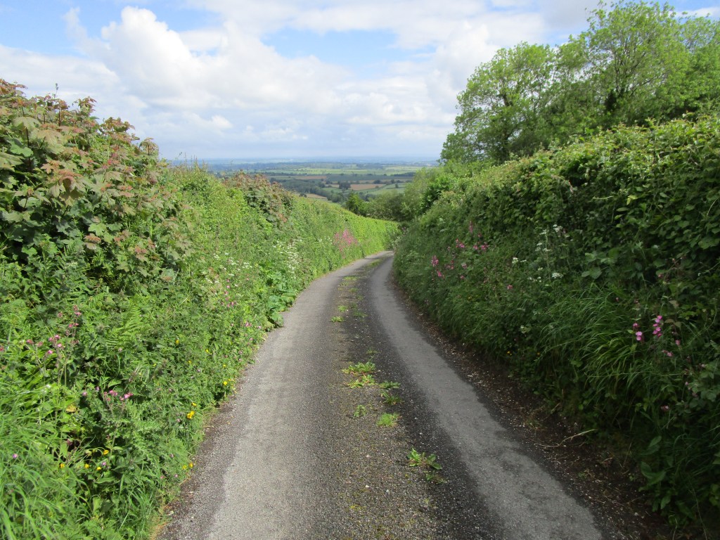
5. English lanes
These were a revelation to me. Anywhere outside a radius of around 100 km from London there is a huge network of barely used lanes. Cycle.travel was extremely good at routing me down these. I posted many pictures of these and appreciated many more. Please do not take your cars down these – get on a bike (or walk) and really appreciate them. It appeared that within 100 km or so of London that there were so many people moving around that quiet lanes have all but disappeared – very sad.
4. Visiting houses that I used to live in and meeting current residents
This of course was part of the purpose of this journey – I spent quite a lot of time beforehand wondering what houses would be like now. Some of my previous residences had been destroyed, but I tried to contact current residents in most houses that I lived in. I did not get an answer from some, but those who did answer were very interesting to talk to, and to learn their life stories and how they interacted with the place. A great way to make some interesting connections – and also to pass on a little history.

3. Sponsors
I have been humbled by the number of generous friends, acquaintances and people who I do not know that have donated their money to the two charities that this bike ride was partly for. Literally as I write this, the total has passed my target of £8000, which is fantastic. Thank you all so much.
Both charities are partly personal – but the Spinal Injuries Association is particularly personal following my sister’s accident before Christmas. I called in to see her in Stoke Mandeville hospital and am in awe of her drive to try to recover as much function of her body as possible – inspirational stuff, and much harder than my bike ride. Just three days ago she messaged to say that during a hard session of physiotherapy she had gone from sitting to standing alone without any harness and not pulling a lot with her arms. This is fantastic progress – long may it continue.
2. Visiting friends and family
This again was another reason to make this long ride. It has been particularly good to see friends that I last saw many years ago. It was though sad that visits were often too short – I wish that had had more time. I recommend taking time to go and see people – much better than writing or phoning!

1. An email
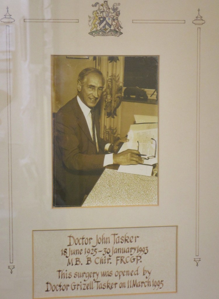
This was a totally unexpected highlight. I received the following as a consequence of an article that the Dunmow Broadcast were good enough to publish (no other newspaper, including my local ones in Scotland, took any interest in my story). I have withheld the name of the sender for obvious reasons.
“Hi Mark
I saw an article in the Dunmow Broadcast (6.6.19) which you were in on your return to this neck of the woods. I wanted to write to you regarding your father Dr Tasker.
I grew up in Dunmow in The Old Manse Childrens’ Home in New Street and your father was our doctor. Twice a year he made visits to the Home to check the health of the children there by weighing, measuring etc which took nearly all day.
He was always lovely and kind. An early memory to share with you was I attended his surgery to have my ears syringed for the very first time but when he produced the equipment for the procedure (having a needle phobia) I would not let him near me and ran around his room. Instead of getting angry with me he reassured me that no needle was involved and merely water was used.
Also I had left the area but was visiting and had a leg wound which another doctor had assured me was fine. On changing the dressing the people I was visiting were concerned enough to suggest a visit to the local doctor. And although no longer under your father’s surgery he agreed to see me at short notice. Once the wound was exposed he called all his colleagues to come and see it and said it was the worse case of septicaemia he had ever seen and that I could have lost my leg. Thankfully, with his advice and treatment that was avoided.
I have very fond memories of your father and tremendous respect for him as he took the fear of visiting a doctor away. He was one of the few adults who treated us with kindness and courtesy in our situation. I am thankful that he was our doctor. You must be very proud.”
This did indeed make me proud, and also left a lump in my throat. If I had not done this ride, I would not have known this story. There are likely quite a few more like it. An outstanding highlight.
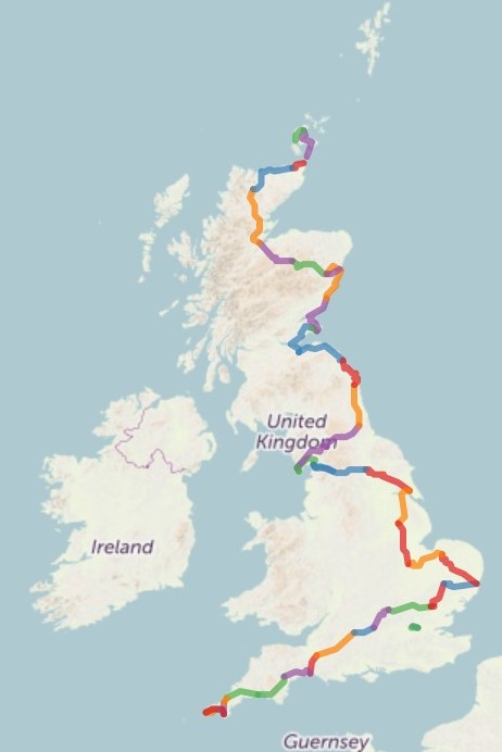
Having completed the mission of visiting all the places in the UK that I have lived at for longer than a month, I needed to get home. Luckily there is a ferry from Orkney to Aberdeen three times a week, and Liz was kind enough to deliver me to the Orkney ferry terminal.

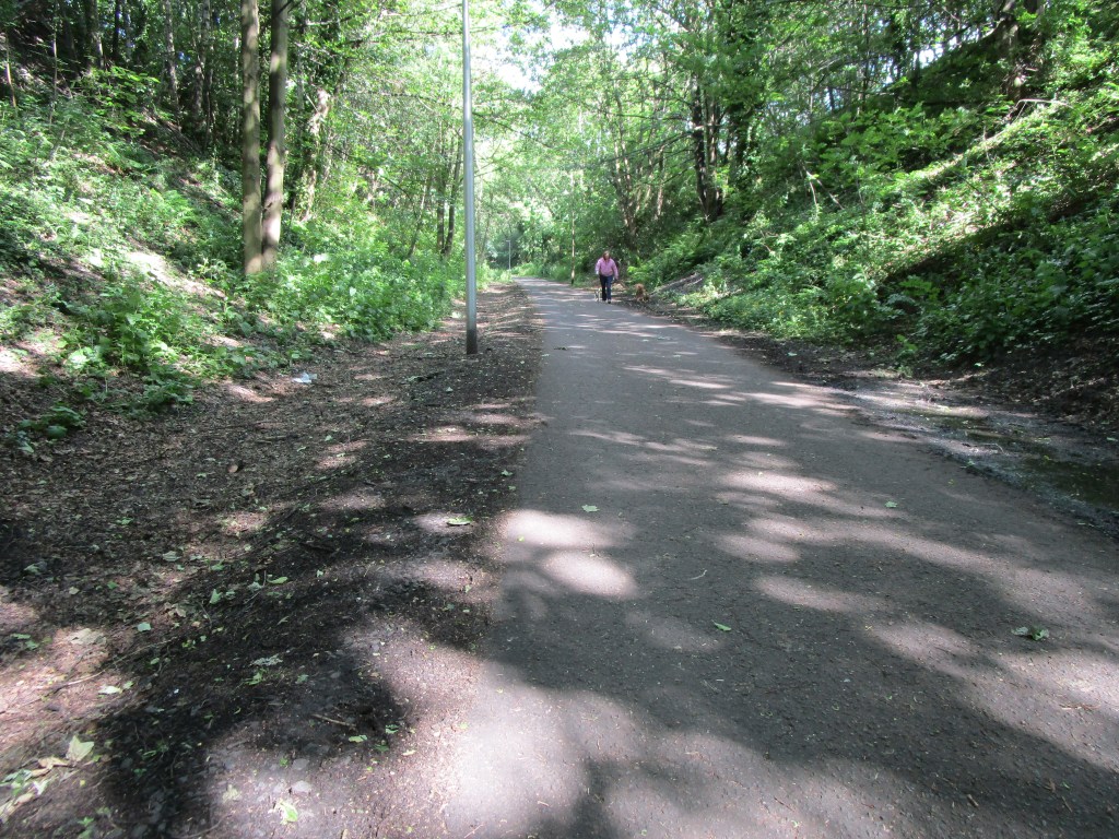
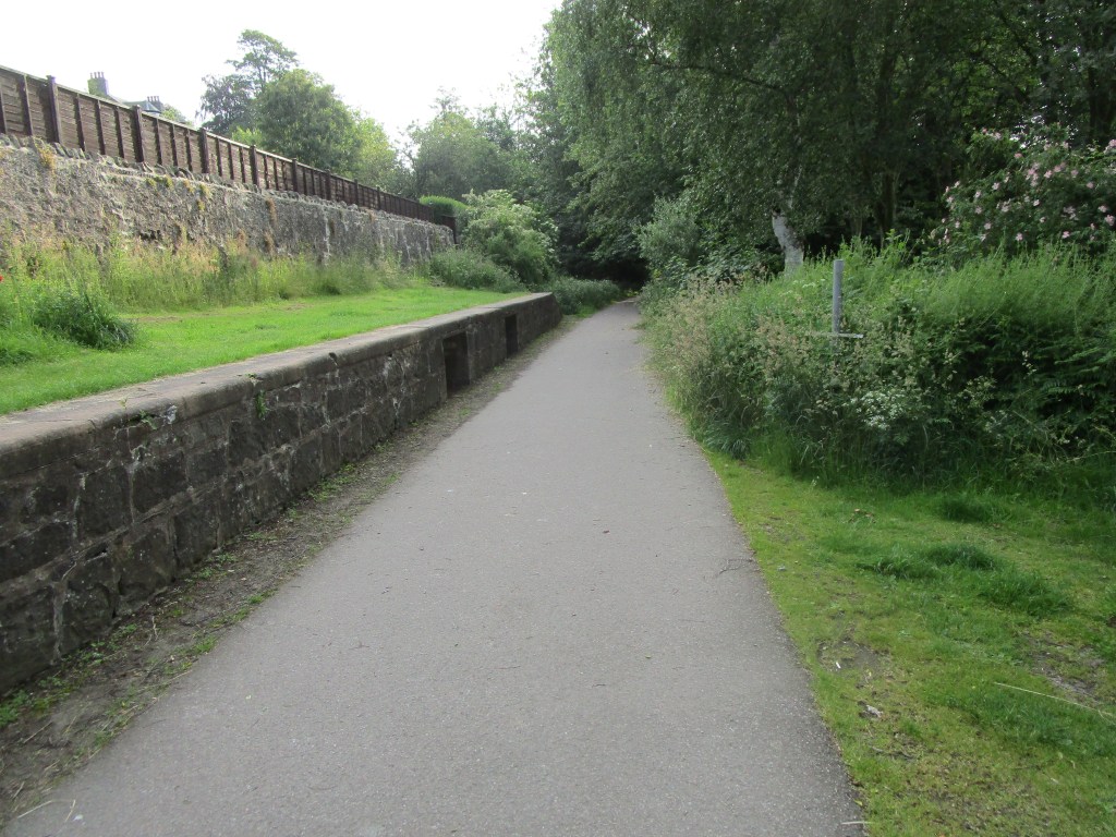
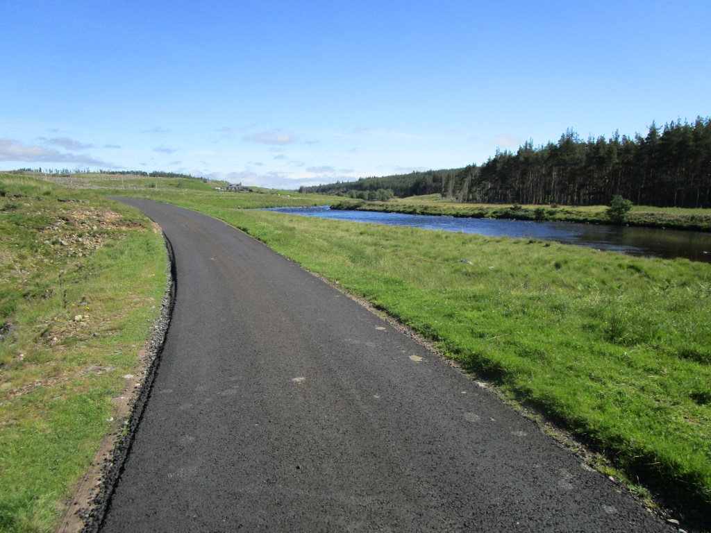
There was one further milestone to achieve – to have bicycled 3000 km on this mission. After Orkney, I had 12.01 km to go according to my navigation system, so I set off home on the old Deeside Railway line (by far the best cycle infrastructure around Aberdeen) and at Peterculter went past that milestone.
One final twist in the tale…. on my way around the second to last corner from home, there was a sharp clunk on my spectacles, followed by a sting on my nose – yes I had collided for the first time on this trip with a bee. Since the nearest hives to that corner are ours, I guess this was a welcome home from our girls!
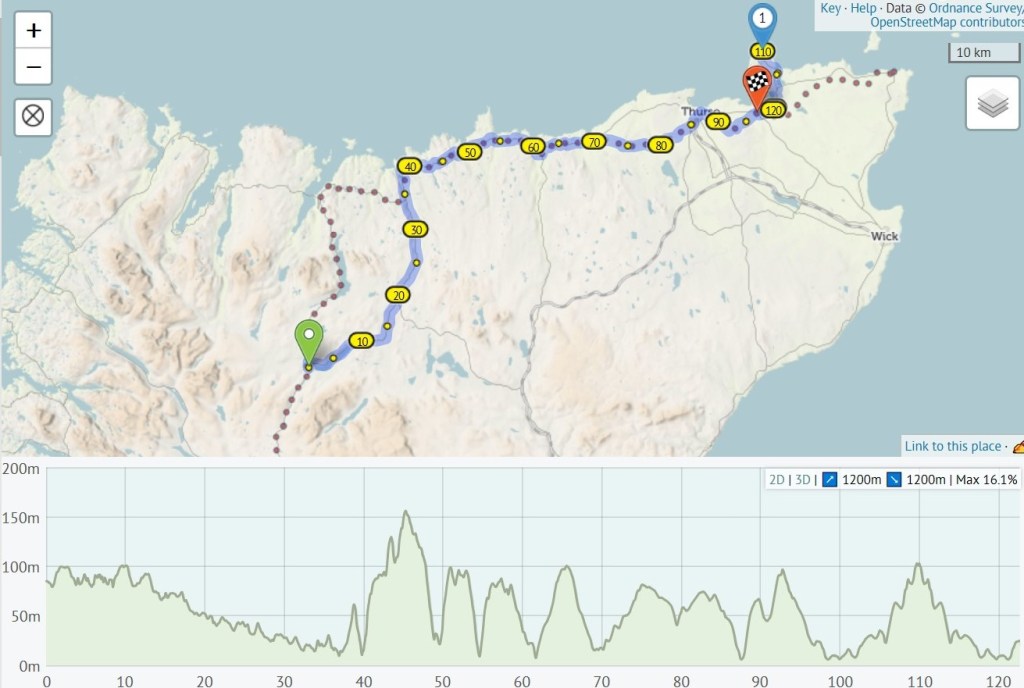
Final statistics: Caithness, Orkney and Deeside ride 130.2 km, Overall 3015.1 km (for a number of reasons, this will be lower than actual). Ascent in last two days: 1216 m, overall ascent: 29928 m. More statistics will follow, along with a few further blogs on the whole journey.
I am about £700 short of my target of raising £8000 for my two chosen charities. I would very much like to achieve that target. If you or anyone else that you know (and can persuade) would like to contribute a little more, I would be very grateful.
https://uk.virginmoneygiving.com/MarkTasker5
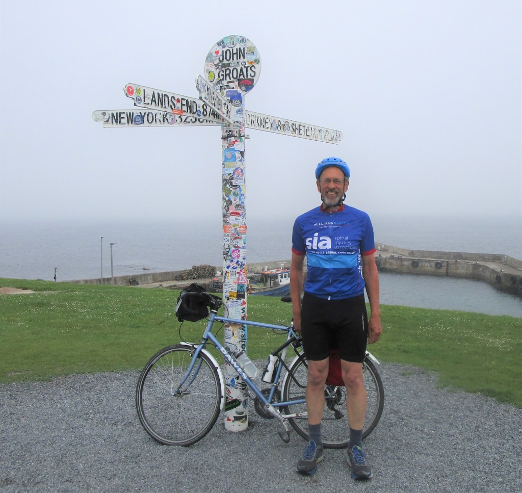
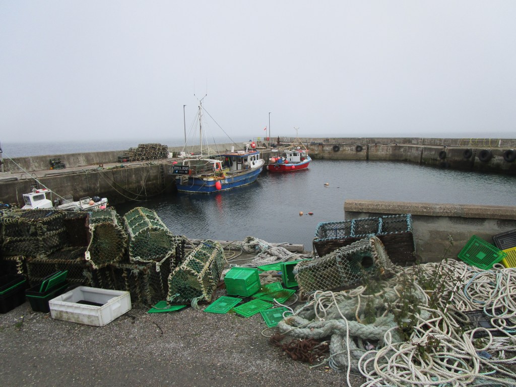
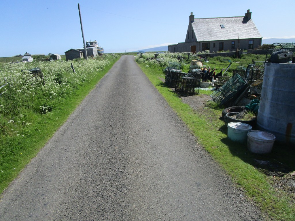
After a short ride in sea haar, I arrived at John O’Groats. In the same way as Land’s End, I am not quite sure why it has gained its popularity – all a bit tawdry – however the compulsory photo at the signpost was required – no professional photographers here and you’ll note the post is covered in stickers. John O’Groats harbour is rather fine though – geared for crustacean fishing in the extreme conditions of the Pentland Firth.
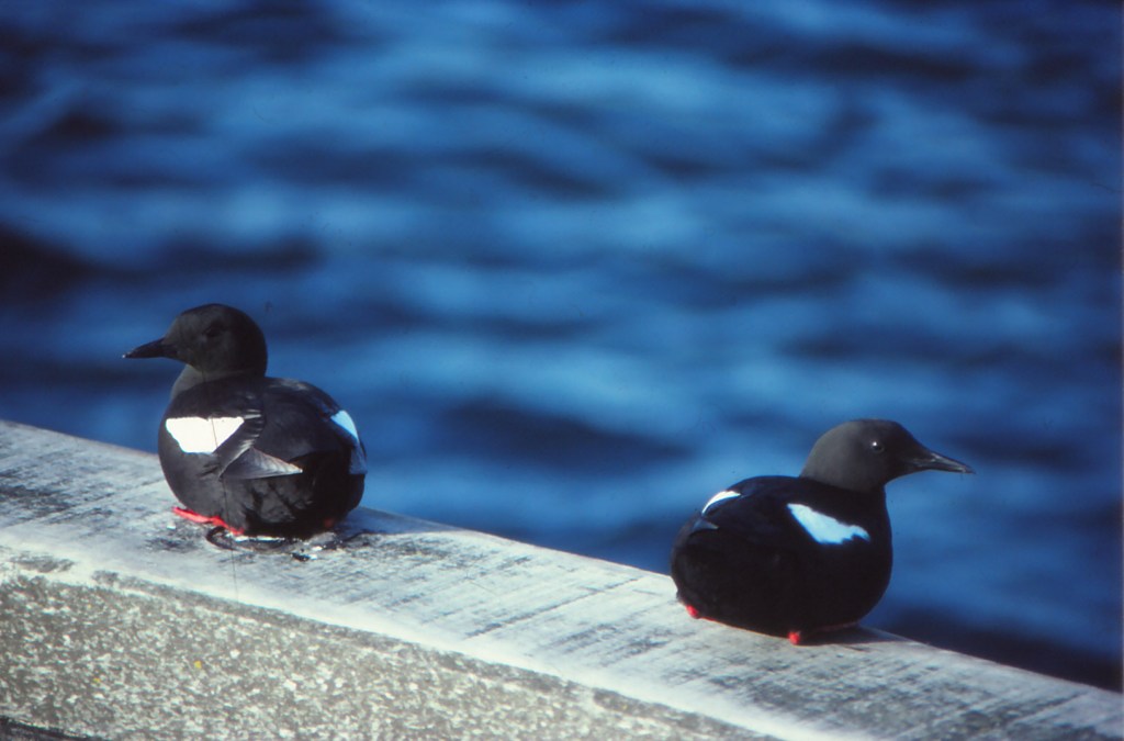
John O’Groats is named after a Dutchman, Jan de Groot (John the large!) who used to run the ferry service to Orkney from here. Jan would have needed to be large to handle the fast flowing Pentland Firth tidestreams just offshore here. I took the modern ferry across – spending the whole trip on deck watching seabirds. The fog was pretty bad, nevertheless there were many auks (mostly guillemots) in the southern part of the Firth. I was very pleased to spot my first black guillemot (or tysties) – and knew at that point that Burwick on South Ronaldsay must be close; tysties really only occur very coastally. Sure enough, Orkney came out of the mist a few second later.

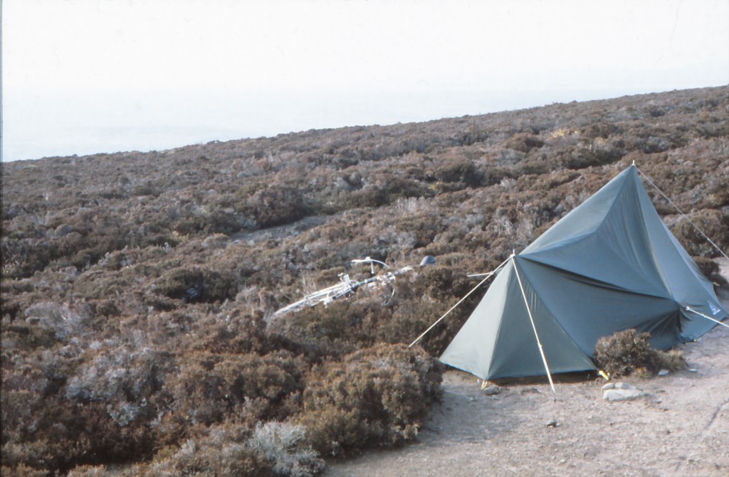
I came to Orkney in 1983 during a slight hiatus in the work on seabirds at sea. I got a small grant initially to count black guillemots around Orkney. My friend, Pete Ewins, working in Shetland had suggested that the most reliable time to count this well-dispersed species was early morning during April. At this time the adults gather to display on or on the water just off their breeding sites. I took my bike (an earlier Dawes) and tent, along with the Seabirds at Sea Team inflatable boat and went to Orkney. Coastal sections of Mainland were counted by walking (often running) before about 0900, after which I would return to the tent, strike camp and cycle to the next section to be counted. If I could find a volunteer, we would take the inflatable and either count a longer section of coast, or visit an offshore island.


It soon became pretty obvious that the nesting grounds of black guillemots were controlled by the presence or absence of rats. They would only nest where rats could not get to them. They also would not nest where other auks were nesting. This left them offshore islets, cliffs above c10 m high and certain man-made structures such as harbour jetties. Finding these charming birds in numbers considerably above those previously thought to occur, during idyllic early morning April conditions, still remains one of my favourite surveys.
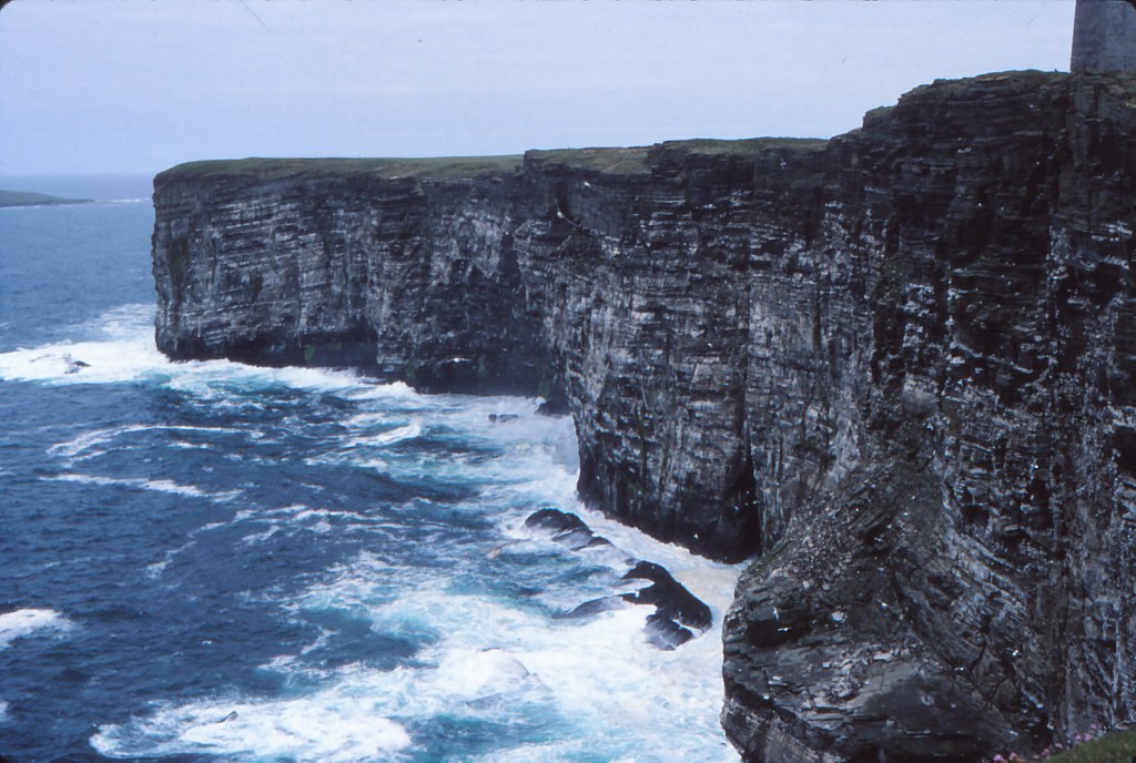
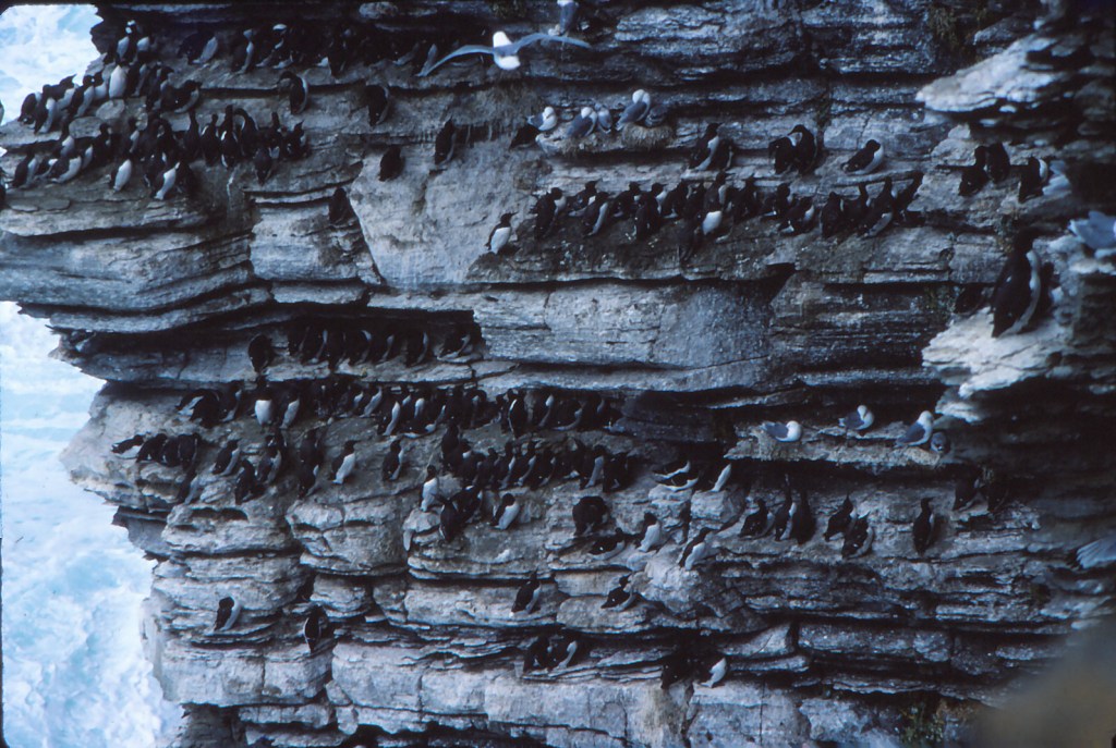
Later in summer 1983, I returned to Orkney to carry out what was then an annual monitoring programme of cliff-nesting seabirds. This had been established following concerns about the impact of the North Sea oil developments on seabirds. As it turned out, these concerns proved reasonably unfounded and the monitoring programme, both here and UK wide, has instead proven to be a good way of monitoring the changes in seabird populations linked to food supply, and in turn with ocean and climate change. My job in 1983 was though to visit each of five colonies ten times in the first three weeks of June. and to count pre-defined plots. There were daily time limits on this (to try to avoid known diurnal rhythms) so I would drive and hike hectically about to get the job done. One of the main colonies visited was Marwick Head, with some iconic views that contained the monitoring plots (there are at least seven plots in the main picture above).
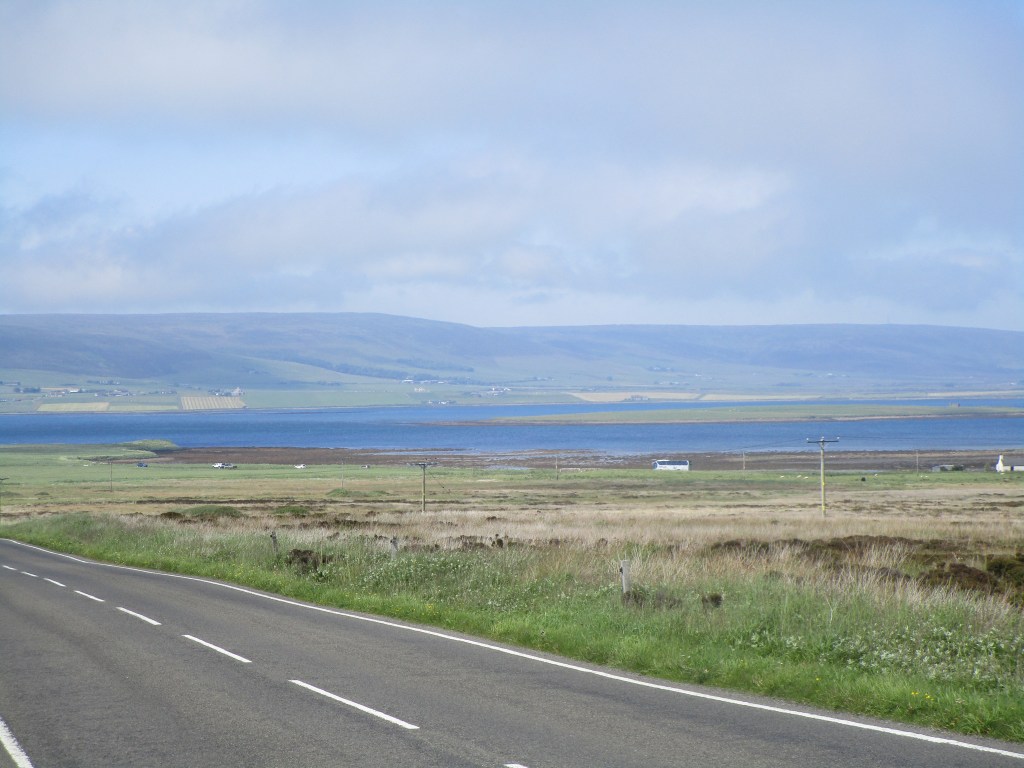
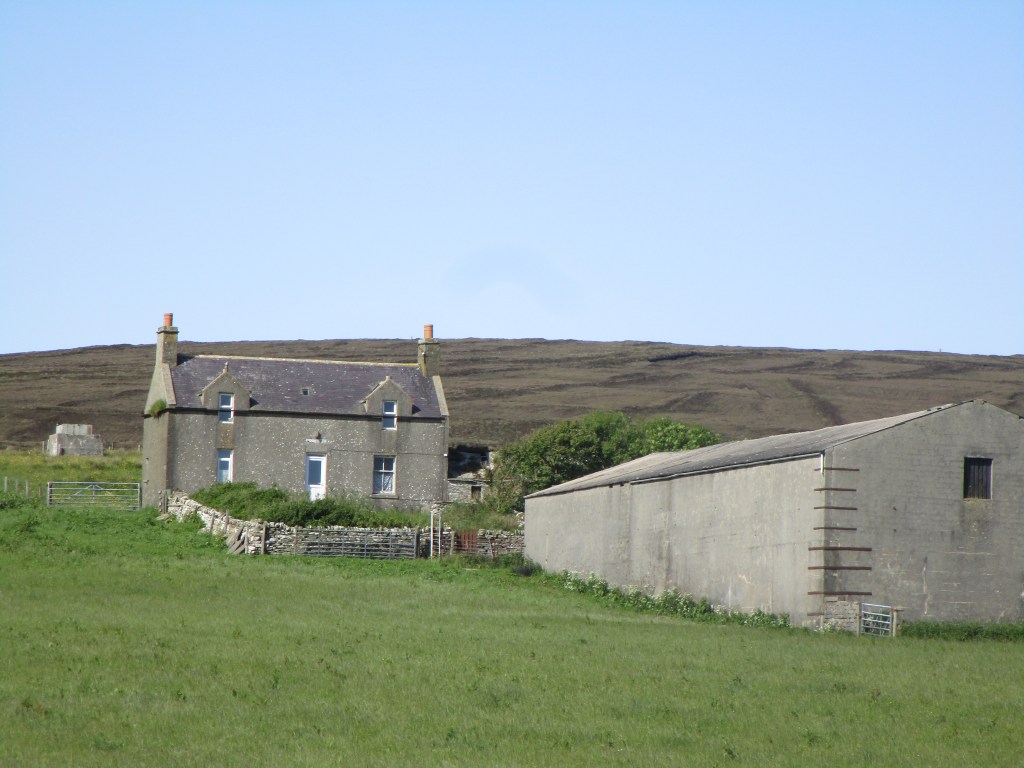
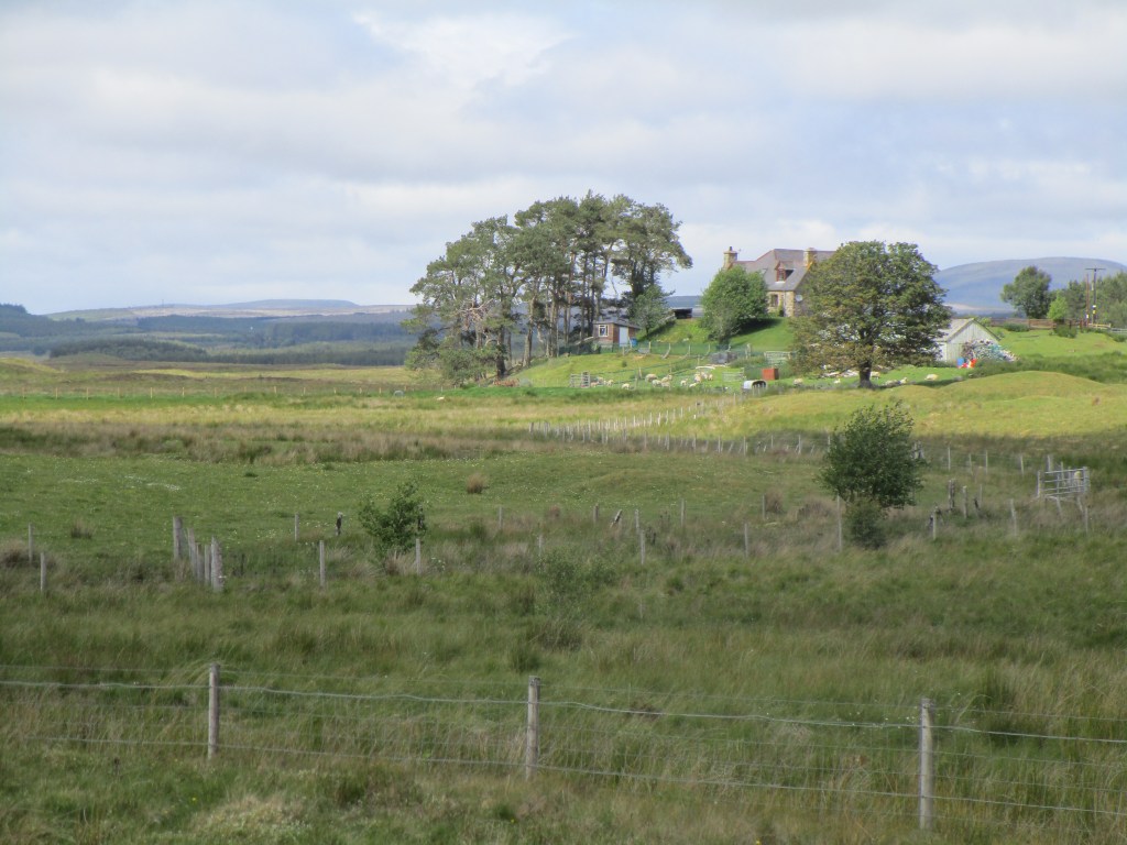
In 1983, I stayed in a static caravan in the village of Evie in north Mainland. An inspection of Google Earth revealed the caravan was no longer there, and I discovered during my visit that it had blown away during a winter storm some years ago. This did not surprise me – it was fairly rickety during gales when I was there. I had though to visit the site of the caravan to complete my mission.
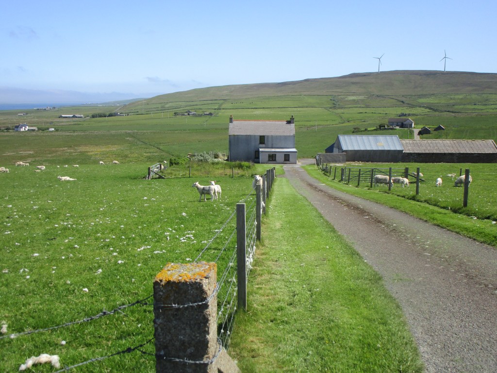
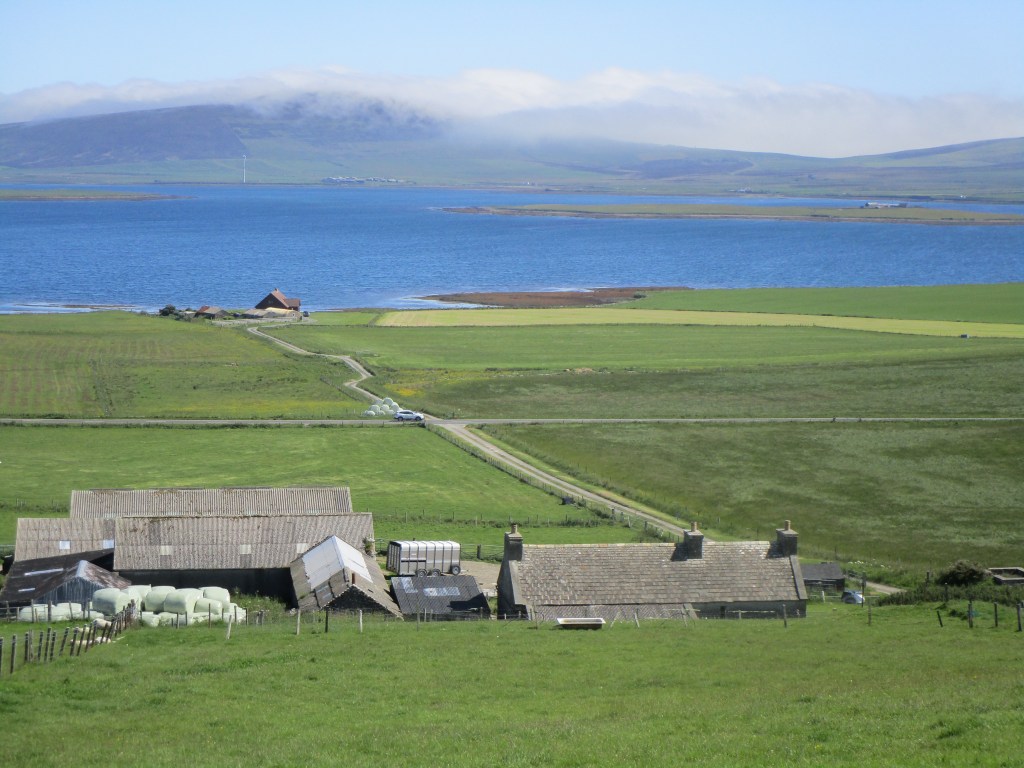
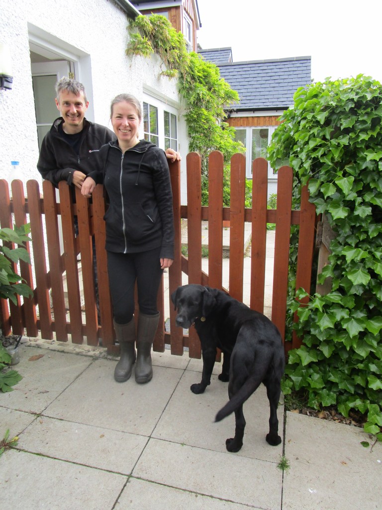
My friend Liz was kind enough to agree to come a photograph me finishing my mission. I had knocked on the farmhouse door to see if it would be ok to take a few pictures, but no-one was in. I wanted a few pictures taken, and we took so long that the farmer, who lives on the other side of the valley had her suspicions raised and came to see what was happening. We had a good chat and update. Needless-to-say for the small community of Orkney, she and Liz knew many people in common. After that it was a short ride, and latterly a lift, back to Liz’s for a most welcome shower, beer and barbeque.
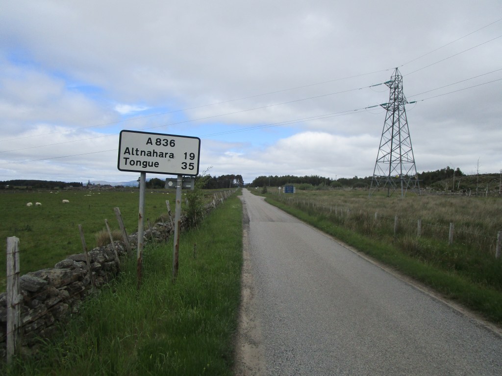
Today I finally saw the Atlantic again as I arrived on the north coast of Sutherland As before it was a day of two halves, split this time by haar. For those that do not know, haar is sea mist or low cloud, caused by cool moist air being dragged inland by warm conditions that causes air to rise. On coasts that suffer from haar (called fret in Yorkshire at least), this means that hot conditions quickly change to cool overcast with an onshore wind.
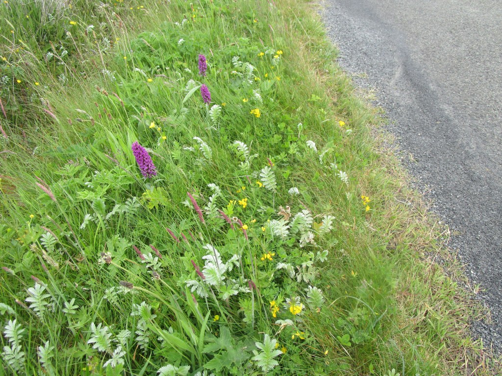
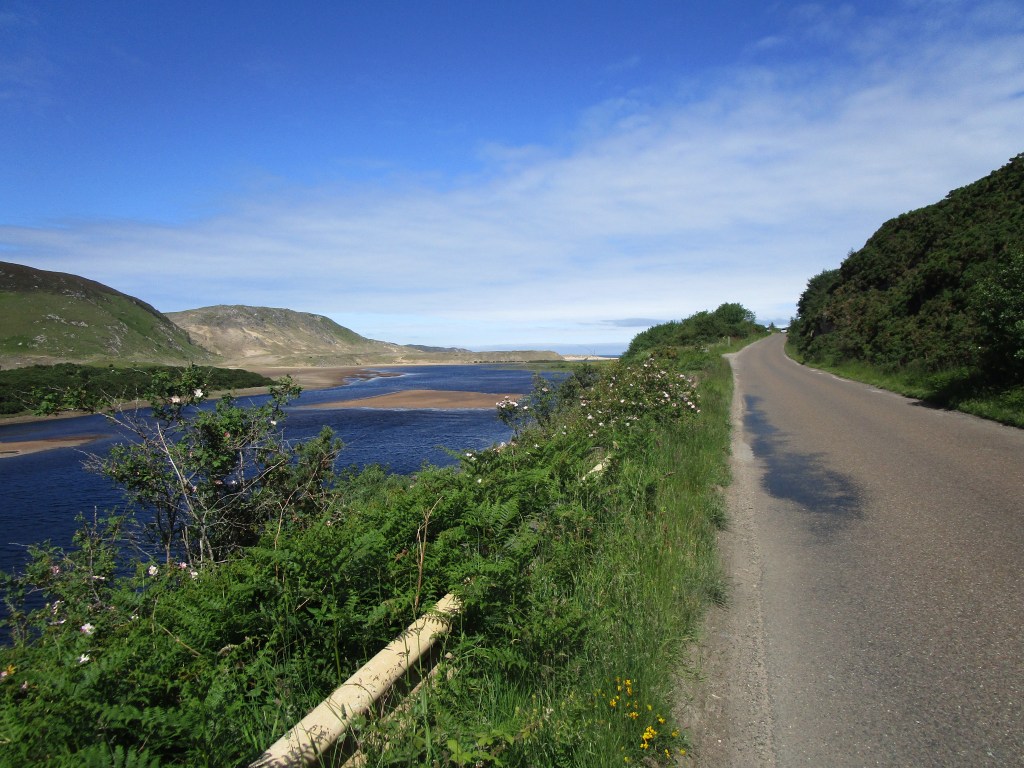
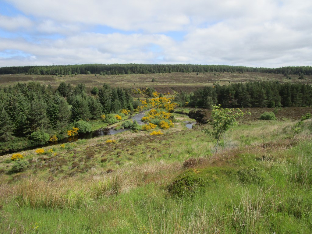
Inland Strathnaver this morning was stunning. I rode slowly absorbing the gorgeous scenery and hoping to see a golden eagle (no luck on that front – they are around as I saw one last time that I passed this way). The butterflies were out, flowers were blooming and birds were singing!


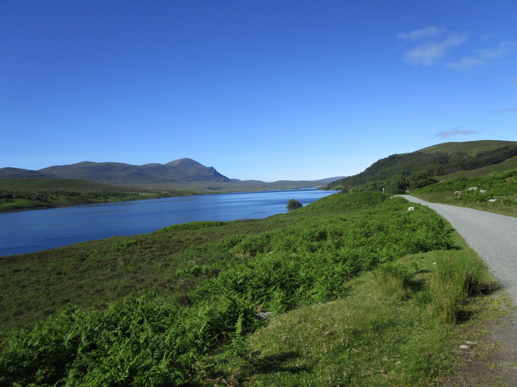
Eventually the idyllic ride ends as the River Naver empties itself into the Atlantic. The route at this point takes a right turn and follows the coast eastwards across a series of valleys (aka ascents).
My main memory of Caithness is an odd one. I was on board HMS Orkney counting birds when we came into Scrabster one weekend as an honoured visitor (not sure what the occasion was). The ship held a drinks reception at which I drank a little too much (as did most others!). Next morning I learned that I had been volunteered to go on a tour of the archaeological sites of Caithness, driven by one of the local luminaries. Three others of the ships crew had also been volunteered. We were put in a very comfortable, warm car, and set off. We visited quite a few sites, but my real difficulty was staying awake and trying to be interested. I genuinely am interested in your tumuli and standing stones (there are lots about), but my brain was consistently telling me otherwise. Never have I had to fight sleep so hard!


Statistics: 119 km today, running total: 2885 km; 1185 m ascent (lots of hills!), 28712 in total. One new live mammal when I rescued an errant hedgehog off the road from certain death under a large articulated truck heading its way.
Today was a typical day of two halves, divided by lunchtime. The first half was to get north over the Black Isle and the southern portion of the NW Highlands to Bonar Bridge. My navigation system decided to take a morning off so I was travelling by memory (which I got right).

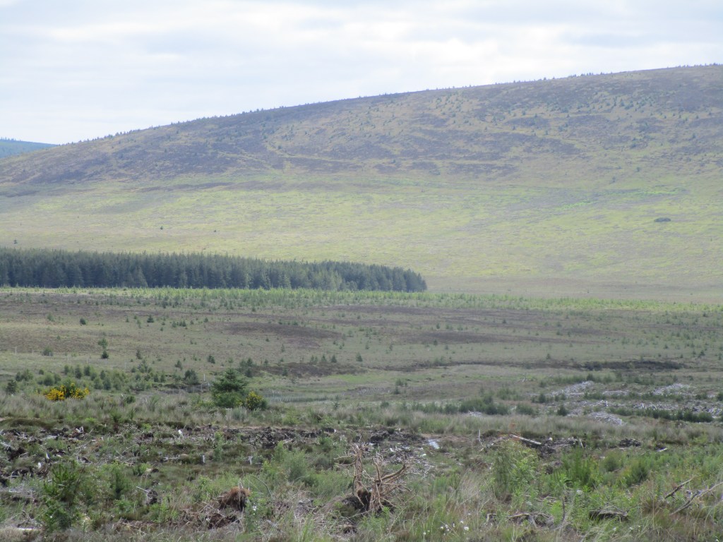

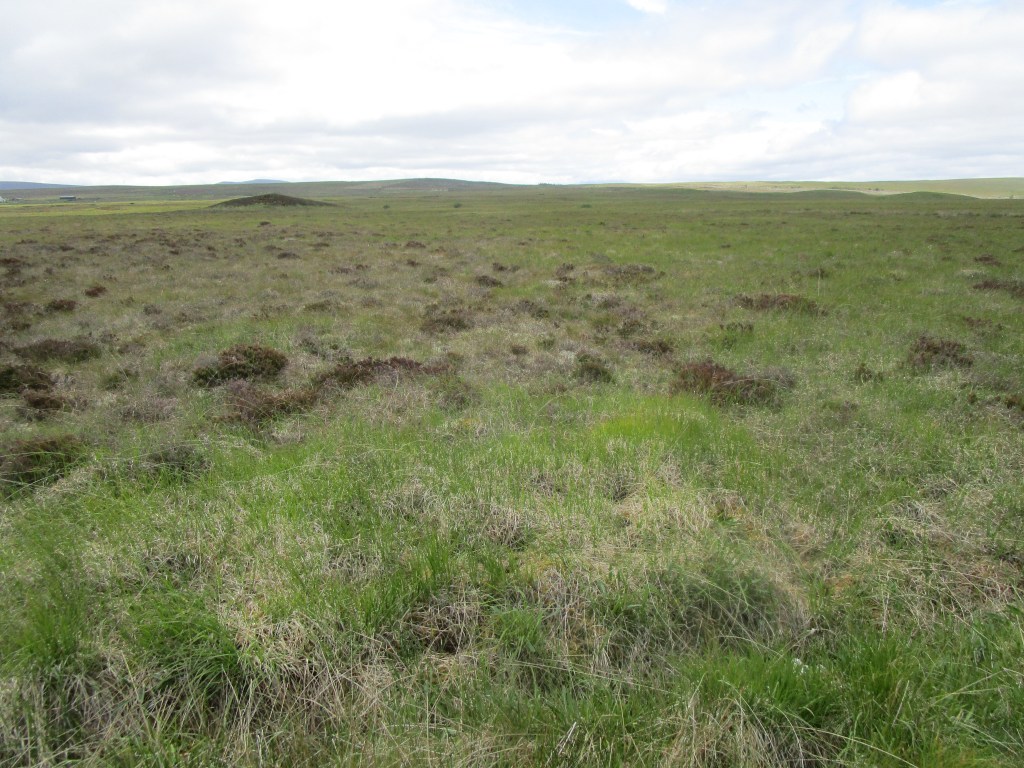
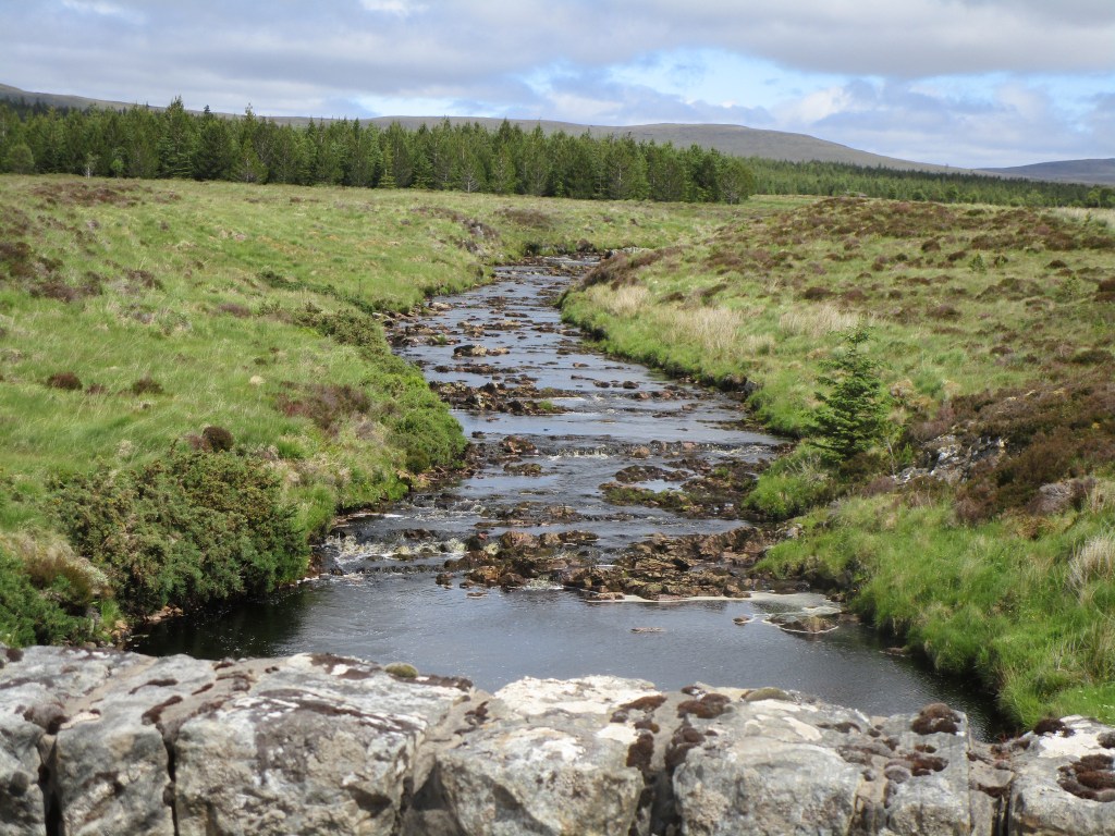
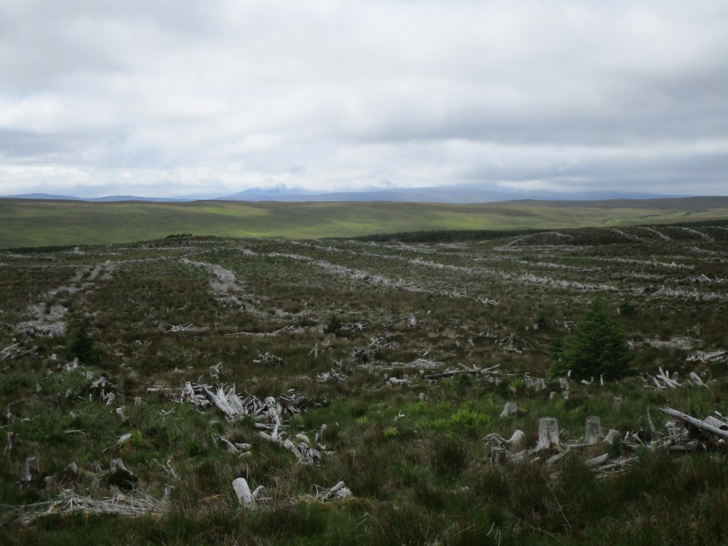
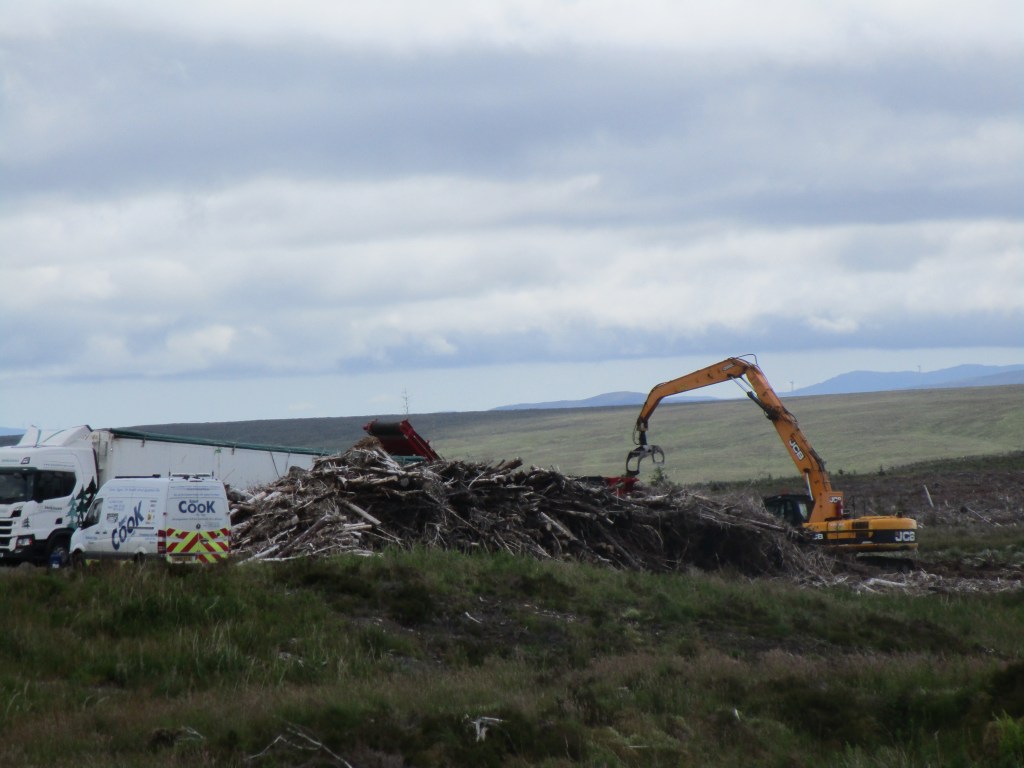
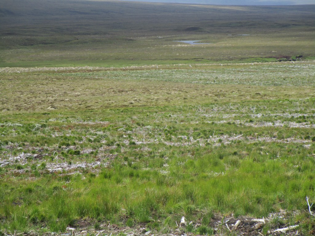
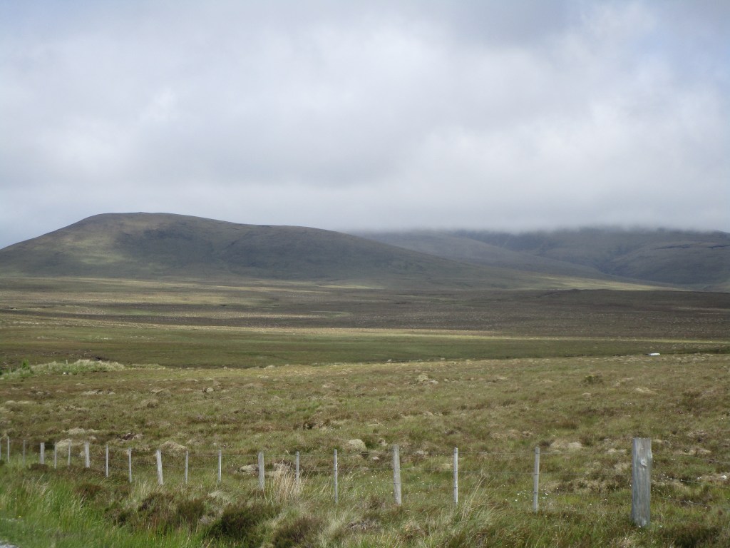
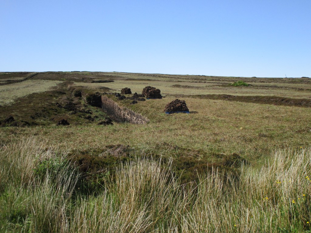
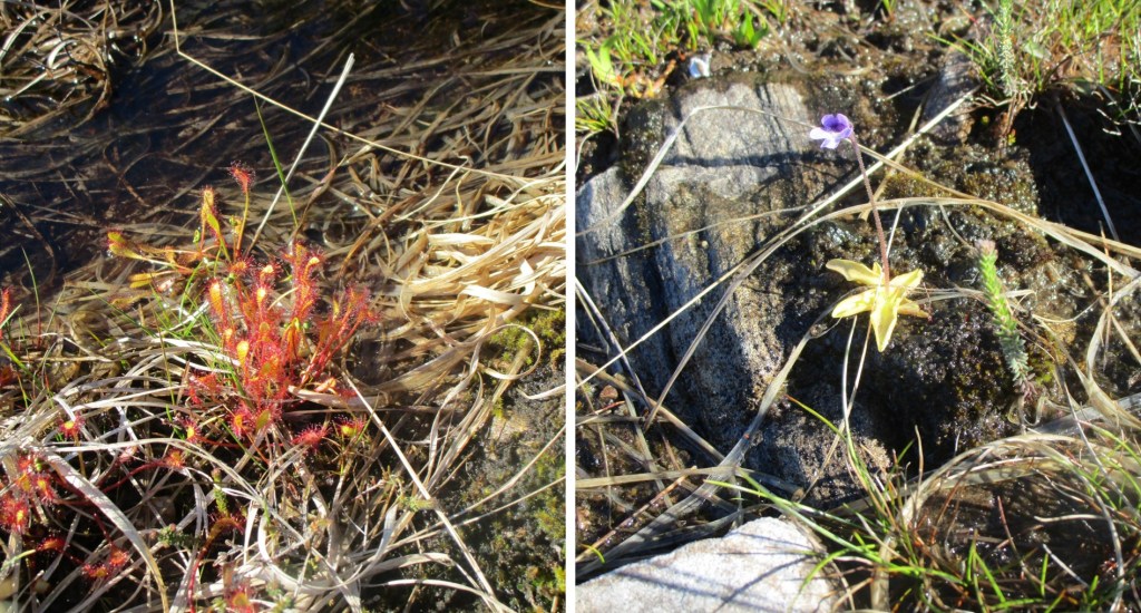
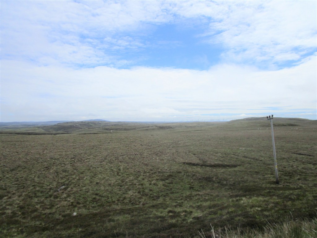
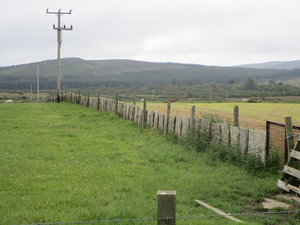
After lunch it was on to the Flow Country. This is a large expanse of Caithness and Sutherland that is typically clad in deep blanket bog (with a few mountains). It has a very special flora and fauna and holds more carbon than all the forests of the UK put together (thus is rather important in terms of climate change. It gained notoriety during the Thatcher government when tax breaks for the rich meant that just planting trees was very advantageous, whether they grew well or not. The Flow Country was regarded as wasteland, ripe for planting trees. In terms of nature conservation this was a disaster and several of my colleagues in the then Nature Conservancy Council put together a report ‘Birds, Bogs and Forestry’ exposing the damage being done – this infuriated the Scottish Conservatives (yes there were a few then) and arguably was one of the main reasons that the Nature Conservancy Council was split up into agencies for each of the four UK countries, plus the Joint Nature Conservation Committee – my subsequent employer. There were though a lot of political shenanigans going on at the time – the ‘row’ was undoubtedly more manufactured than it needed to have been from the government side. Ultimately though the folly of this tax break was realised, and considerable public and charitable funds have gone into restoring the Flow Country. That will take many years though.
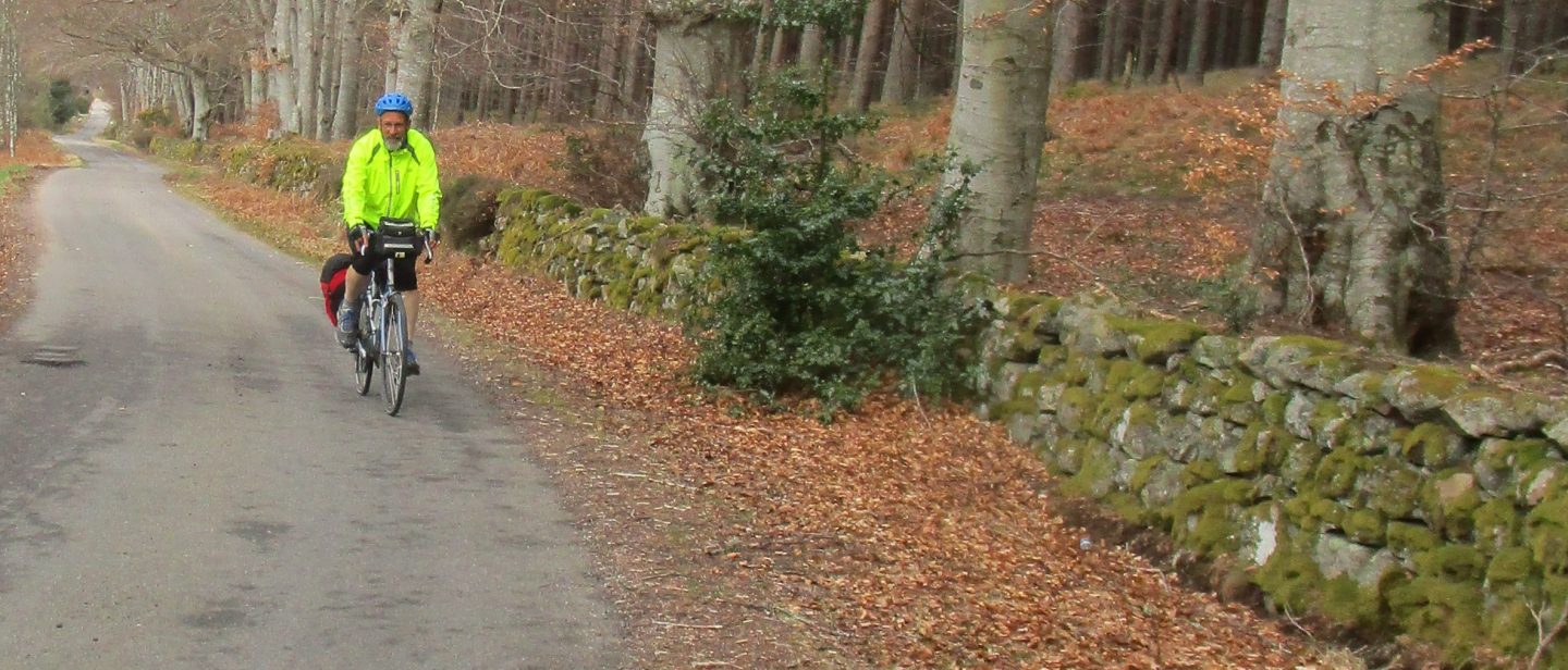
I had come this way with my brother Guy when he rode from Lands End to John O’Groats a few years ago, so I was delighted that the weather was clear and warm, but with a strong north-westerly wind to push into all afternoon.